Distance to and from Nohead Bottom, Virginia
Nohead Bottom, VA 23092
Virginia
US
America/New_York
Location Information
-
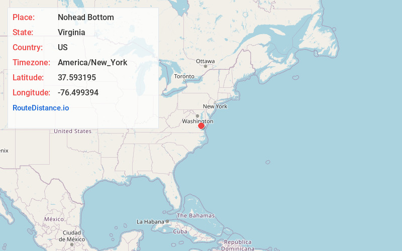
Full AddressNohead Bottom, VA 23092
-
Coordinates37.5931945, -76.4993943
-
LocationVirginia , US
-
TimezoneAmerica/New_York
-
Current Local Time2:08:20 PM America/New_YorkSaturday, May 3, 2025
-
Page Views0
Directions to Nearest Cities
About Nohead Bottom
Nohead Bottom is an unincorporated community in Middlesex County, Virginia, United States. It was also known as Nohead.
Nearby Places
Found 10 places within 50 miles

Locust Hill
0.8 mi
1.3 km
Locust Hill, VA 23092
Get directions
Harmony Village
1.0 mi
1.6 km
Harmony Village, VA 23092
Get directions
Topping
1.4 mi
2.3 km
Topping, VA 23169
Get directions
Healys
1.6 mi
2.6 km
Healys, VA 23092
Get directions
Cooper
1.6 mi
2.6 km
Cooper, VA 23092
Get directions

Middlesex County
1.6 mi
2.6 km
Middlesex County, VA
Get directions
Christchurch
2.1 mi
3.4 km
Christchurch, VA 23092
Get directions
Syringa
2.5 mi
4.0 km
Syringa, VA 23169
Get directions
Regent
3.2 mi
5.1 km
Regent, VA 23169
Get directions
Locklies
3.3 mi
5.3 km
Locklies, VA 23169
Get directions
Locust Hill
0.8 mi
1.3 km
Locust Hill, VA 23092
Harmony Village
1.0 mi
1.6 km
Harmony Village, VA 23092
Topping
1.4 mi
2.3 km
Topping, VA 23169
Healys
1.6 mi
2.6 km
Healys, VA 23092
Cooper
1.6 mi
2.6 km
Cooper, VA 23092
Middlesex County
1.6 mi
2.6 km
Middlesex County, VA
Christchurch
2.1 mi
3.4 km
Christchurch, VA 23092
Syringa
2.5 mi
4.0 km
Syringa, VA 23169
Regent
3.2 mi
5.1 km
Regent, VA 23169
Locklies
3.3 mi
5.3 km
Locklies, VA 23169
Location Links
Local Weather
Weather Information
Coming soon!
Location Map
Static map view of Nohead Bottom, Virginia
Browse Places by Distance
Places within specific distances from Nohead Bottom
Short Distances
Long Distances
Click any distance to see all places within that range from Nohead Bottom. Distances shown in miles (1 mile ≈ 1.61 kilometers).