Distance to North Cedar Community School District, Iowa

Calculating Your Route
Just a moment while we process your request...
Location Information
-
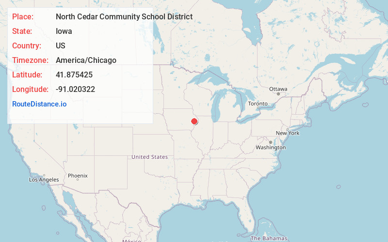
Full AddressNorth Cedar Community School District, IA
-
Coordinates41.8754251, -91.0203224
-
LocationIowa , US
-
TimezoneAmerica/Chicago
-
Current Local Time9:40:44 PM America/ChicagoSaturday, May 31, 2025
-
Website
-
Page Views0
About North Cedar Community School District
The North Cedar Community School District is a rural public school district headquartered in Stanwood, Iowa. The district is in portions of northern Cedar County and a small section of Jones County, and serves the communities of Stanwood, Mechanicsville, Clarence and Lowden, and surrounding unincorporated areas.
Nearby Places
Found 10 places within 50 miles

Clarence
2.1 mi
3.4 km
Clarence, IA 52216
Get directions

Lowden
5.1 mi
8.2 km
Lowden, IA 52255
Get directions

Stanwood
6.8 mi
10.9 km
Stanwood, IA 52337
Get directions
Oxford Mills
7.3 mi
11.7 km
Oxford Mills, IA 52323
Get directions

Oxford Junction
8.2 mi
13.2 km
Oxford Junction, IA 52323
Get directions

Toronto
8.3 mi
13.4 km
Toronto, IA 52777
Get directions

Tipton
9.2 mi
14.8 km
Tipton, IA 52772
Get directions
Bennett
9.7 mi
15.6 km
Bennett, IA 52721
Get directions

Hale
9.7 mi
15.6 km
Hale, IA 52362
Get directions

Wheatland
9.8 mi
15.8 km
Wheatland, IA 52777
Get directions
Location Links
Local Weather
Weather Information
Coming soon!
Location Map
Static map view of North Cedar Community School District, Iowa
Browse Places by Distance
Places within specific distances from North Cedar Community School District
Short Distances
Long Distances
Click any distance to see all places within that range from North Cedar Community School District. Distances shown in miles (1 mile ≈ 1.61 kilometers).