Distance to North Manitou Island, Michigan

Calculating Your Route
Just a moment while we process your request...
Location Information
-
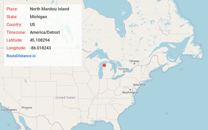
Full AddressNorth Manitou Island, Leland Township, MI
-
Coordinates45.1082938, -86.0182428
-
LocationLeland Township , Michigan , US
-
TimezoneAmerica/Detroit
-
Current Local Time5:21:30 PM America/DetroitWednesday, June 4, 2025
-
Page Views0
About North Manitou Island
Uninhabited island in Lake Michigan featuring trails, diving spots & diverse wildlife.


Nearby Places
Found 10 places within 50 miles

Leelanau Schools
13.5 mi
21.7 km
Leelanau Schools, Glen Arbor Township, MI 49636
Get directions

Leland
13.9 mi
22.4 km
Leland, MI 49654
Get directions

Glen Arbor
14.6 mi
23.5 km
Glen Arbor, MI
Get directions

Lake Leelanau
17.2 mi
27.7 km
Lake Leelanau, MI 49653
Get directions
Schomberg
17.6 mi
28.3 km
Schomberg, Centerville Township, MI 49621
Get directions
Bodus
18.1 mi
29.1 km
Bodus, Centerville Township, MI 49621
Get directions
Burdickville
18.2 mi
29.3 km
Burdickville, Empire Township, MI 49664
Get directions

Maple City
19.2 mi
30.9 km
Maple City, MI 49664
Get directions

Northport
19.6 mi
31.5 km
Northport, MI 49670
Get directions
Isadore
19.9 mi
32.0 km
Isadore, Centerville Township, MI 49621
Get directions
Location Links
Local Weather
Weather Information
Coming soon!
Location Map
Static map view of North Manitou Island, Michigan
Browse Places by Distance
Places within specific distances from North Manitou Island
Short Distances
Long Distances
Click any distance to see all places within that range from North Manitou Island. Distances shown in miles (1 mile ≈ 1.61 kilometers).