Distance to North Stanton, Virginia

Calculating Your Route
Just a moment while we process your request...
Location Information
-
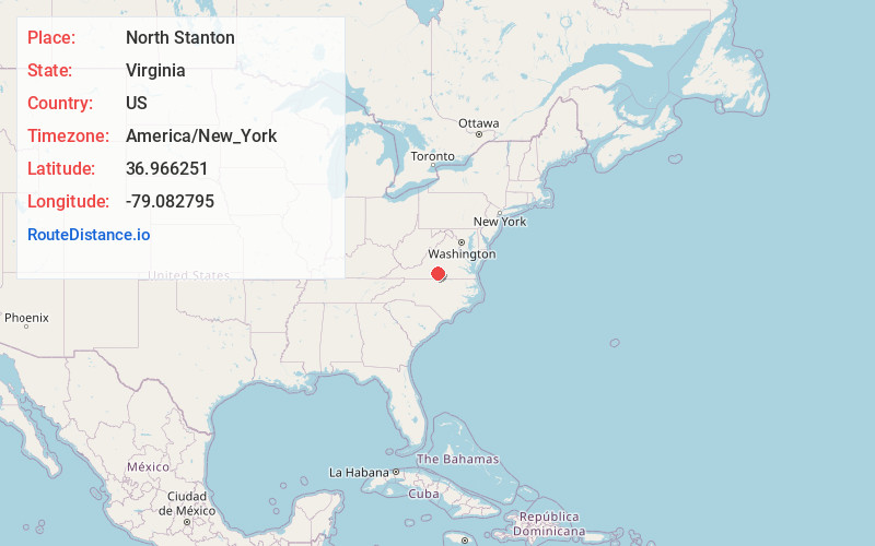
Full AddressNorth Stanton, VA 24577
-
Coordinates36.9662506, -79.0827948
-
LocationVirginia , US
-
TimezoneAmerica/New_York
-
Current Local Time8:51:42 PM America/New_YorkWednesday, June 4, 2025
-
Page Views0
Nearby Places
Found 10 places within 50 miles

Cody
1.2 mi
1.9 km
Cody, VA 24557
Get directions
Republican Grove
2.6 mi
4.2 km
Republican Grove, VA 24577
Get directions
Hermosa
2.8 mi
4.5 km
Hermosa, VA 24577
Get directions
Leda
4.3 mi
6.9 km
Leda, VA 24577
Get directions
Acorn
5.5 mi
8.9 km
Acorn, VA 24577
Get directions
Perth
6.0 mi
9.7 km
Perth, VA 24577
Get directions
Mt Airy
6.3 mi
10.1 km
Mt Airy, VA 24557
Get directions
Alchie
6.3 mi
10.1 km
Alchie, VA 24577
Get directions
Green Hill
6.6 mi
10.6 km
Green Hill, VA 24554
Get directions
Rabat
7.4 mi
11.9 km
Rabat, VA 24577
Get directions
Location Links
Local Weather
Weather Information
Coming soon!
Location Map
Static map view of North Stanton, Virginia
Browse Places by Distance
Places within specific distances from North Stanton
Short Distances
Long Distances
Click any distance to see all places within that range from North Stanton. Distances shown in miles (1 mile ≈ 1.61 kilometers).