Distance to Noxville, Texas

Calculating Your Route
Just a moment while we process your request...
Location Information
-
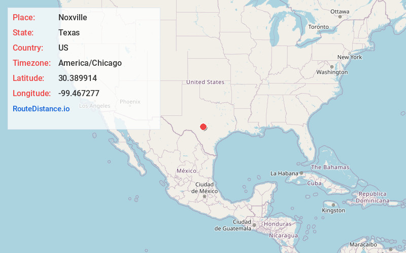
Full AddressNoxville, TX 78631
-
Coordinates30.3899141, -99.4672771
-
LocationNoxville , Texas , US
-
TimezoneAmerica/Chicago
-
Current Local Time7:16:19 PM America/ChicagoFriday, May 30, 2025
-
Page Views0
About Noxville
Noxville is a ghost town on the James River, 21 miles east of Junction on Ranch to Market Road 479, in Kimble County, in the U.S. state of Texas.


Nearby Places
Found 10 places within 50 miles

Harper
14.7 mi
23.7 km
Harper, TX 78631
Get directions

Yates
15.6 mi
25.1 km
Yates, TX 76854
Get directions
Mountain Home
16.2 mi
26.1 km
Mountain Home, TX 78058
Get directions

Junction
19.4 mi
31.2 km
Junction, TX 76849
Get directions

Doss
20.4 mi
32.8 km
Doss, TX
Get directions

London
20.9 mi
33.6 km
London, TX 76854
Get directions

Hunt
23.3 mi
37.5 km
Hunt, TX 78024
Get directions
Saline
23.5 mi
37.8 km
Saline, TX 76854
Get directions
Hilda
25.0 mi
40.2 km
Hilda, TX 76856
Get directions

Ingram
25.5 mi
41.0 km
Ingram, TX
Get directions
Location Links
Local Weather
Weather Information
Coming soon!
Location Map
Static map view of Noxville, Texas
Browse Places by Distance
Places within specific distances from Noxville
Short Distances
Long Distances
Click any distance to see all places within that range from Noxville. Distances shown in miles (1 mile ≈ 1.61 kilometers).