Distance to Number Nine, Arkansas

Calculating Your Route
Just a moment while we process your request...
Location Information
-
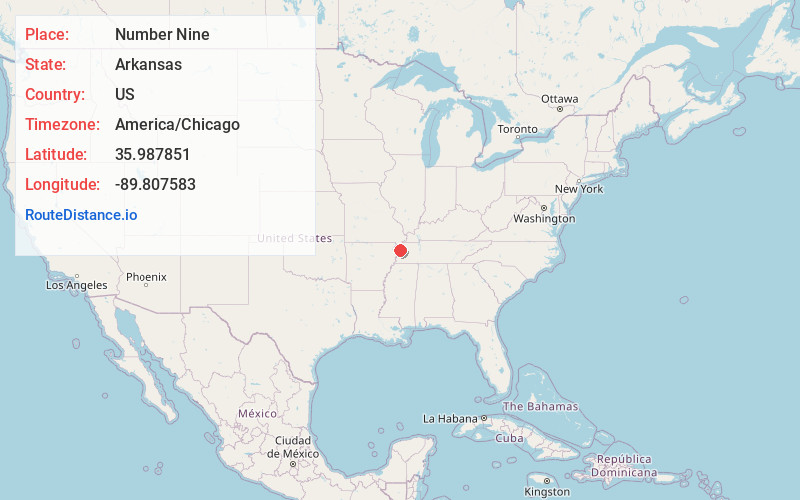
Full AddressNumber Nine, AR 72315
-
Coordinates35.9878506, -89.8075829
-
LocationArkansas , US
-
TimezoneAmerica/Chicago
-
Current Local Time6:41:52 AM America/ChicagoSunday, June 29, 2025
-
Page Views0
About Number Nine
Number Nine is an unincorporated community in Mississippi County, Arkansas, United States. Number Nine is located on Arkansas Highway 150, 7.5 miles east-northeast of Blytheville.
Nearby Places
Found 10 places within 50 miles

Cooter
4.1 mi
6.6 km
Cooter, MO
Get directions
Armorel
4.7 mi
7.6 km
Armorel, AR 72315
Get directions
Hickman
5.1 mi
8.2 km
Hickman, AR 72315
Get directions
Yarbro
5.8 mi
9.3 km
Yarbro, AR 72315
Get directions
Holland
5.9 mi
9.5 km
Holland, MO
Get directions
Hermondale
6.3 mi
10.1 km
Hermondale, MO 63877
Get directions

Steele
6.8 mi
10.9 km
Steele, MO 63877
Get directions

Blytheville
7.0 mi
11.3 km
Blytheville, AR 72315
Get directions
Barr
8.5 mi
13.7 km
Barr, TN 38040
Get directions
Bradleytown
8.9 mi
14.3 km
Bradleytown, TN 38030
Get directions
Location Links
Local Weather
Weather Information
Coming soon!
Location Map
Static map view of Number Nine, Arkansas
Browse Places by Distance
Places within specific distances from Number Nine
Short Distances
Long Distances
Click any distance to see all places within that range from Number Nine. Distances shown in miles (1 mile ≈ 1.61 kilometers).