Distance to Steele, Missouri

Calculating Your Route
Just a moment while we process your request...
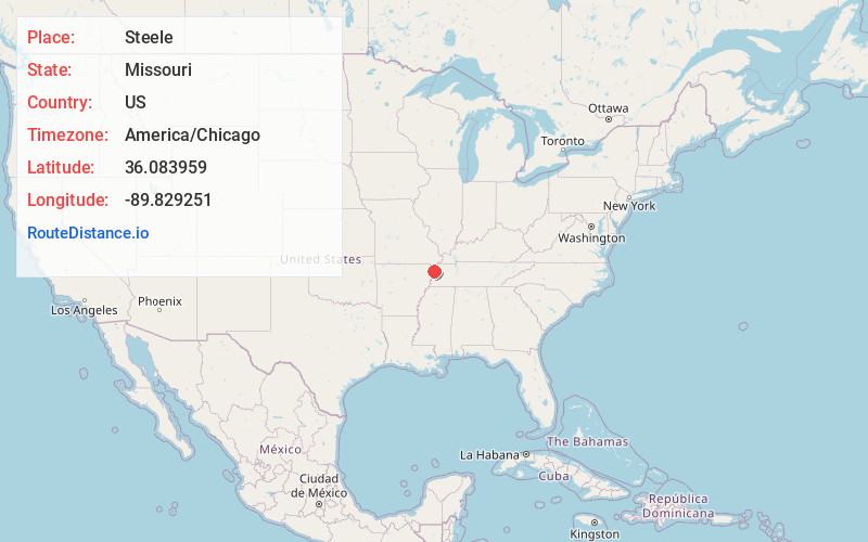
Location Information
-
Full AddressSteele, MO 63877
-
Coordinates36.0839594, -89.8292512
-
LocationSteele , Missouri , US
-
TimezoneAmerica/Chicago
-
Current Local Time3:00:03 PM America/ChicagoSunday, June 22, 2025
-
Page Views0
About Steele
Steele is a city in southern Pemiscot County in the Missouri Bootheel of southeastern Missouri, United States. The population was 1,853 at the 2020 census.


Nearby Places
Found 10 places within 50 miles

Hayti
11.3 mi
18.2 km
Hayti, MO 63851
Get directions

Blytheville
11.6 mi
18.7 km
Blytheville, AR 72315
Get directions

Gosnell
11.7 mi
18.8 km
Gosnell, AR 72315
Get directions

Caruthersville
12.3 mi
19.8 km
Caruthersville, MO 63830
Get directions

Kennett
16.4 mi
26.4 km
Kennett, MO 63857
Get directions

Senath
18.8 mi
30.3 km
Senath, MO 63876
Get directions

Ridgely
22.7 mi
36.5 km
Ridgely, TN 38080
Get directions

Manila
23.5 mi
37.8 km
Manila, AR 72442
Get directions

Portageville
24.7 mi
39.8 km
Portageville, MO 63873
Get directions

Dyersburg
25.0 mi
40.2 km
Dyersburg, TN 38024
Get directions
Location Links
Local Weather
Weather Information
Coming soon!
Location Map
Static map view of Steele, Missouri
Browse Places by Distance
Places within specific distances from Steele
Short Distances
Long Distances
Click any distance to see all places within that range from Steele. Distances shown in miles (1 mile ≈ 1.61 kilometers).