Distance to Nushagak, Alaska

Calculating Your Route
Just a moment while we process your request...
Location Information
-
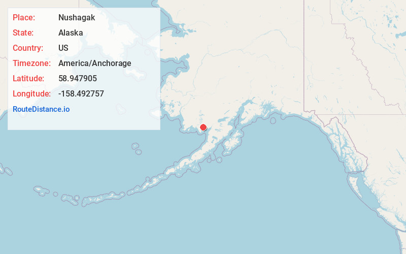
Full AddressNushagak, AK 99576
-
Coordinates58.9479051, -158.4927567
-
LocationNushagak , Alaska , US
-
TimezoneAmerica/Anchorage
-
Current Local Time1:45:31 AM America/AnchorageMonday, June 23, 2025
-
Page Views0
About Nushagak
Nushagak was a trade center and settlement near the present-day site of Dillingham, Alaska, United States, at the northern end of Nushagak Bay in northern Bristol Bay. It was located near the confluence of the Wood River and Nushagak Rivers.

Nearby Places
Found 9 places within 50 miles

Nelsonville
4.3 mi
6.9 km
Nelsonville, Dillingham, AK 99576
Get directions

Dillingham
6.4 mi
10.3 km
Dillingham, AK 99576
Get directions
Clark's Point
7.8 mi
12.6 km
Clark's Point, AK
Get directions

Ekuk
10.2 mi
16.4 km
Ekuk, AK 99569
Get directions
Manokotak
20.2 mi
32.5 km
Manokotak, AK
Get directions
Igushik
21.7 mi
34.9 km
Igushik, Manokotak, AK 99628
Get directions

Aleknagik
23.4 mi
37.7 km
Aleknagik, AK
Get directions
Portage Creek
27.8 mi
44.7 km
Portage Creek, AK
Get directions
Ekwok
45.5 mi
73.2 km
Ekwok, AK
Get directions
Location Links
Local Weather
Weather Information
Coming soon!
Location Map
Static map view of Nushagak, Alaska
Browse Places by Distance
Places within specific distances from Nushagak
Short Distances
Long Distances
Click any distance to see all places within that range from Nushagak. Distances shown in miles (1 mile ≈ 1.61 kilometers).