Distance to Nutley, New Jersey

Calculating Your Route
Just a moment while we process your request...
Location Information
-
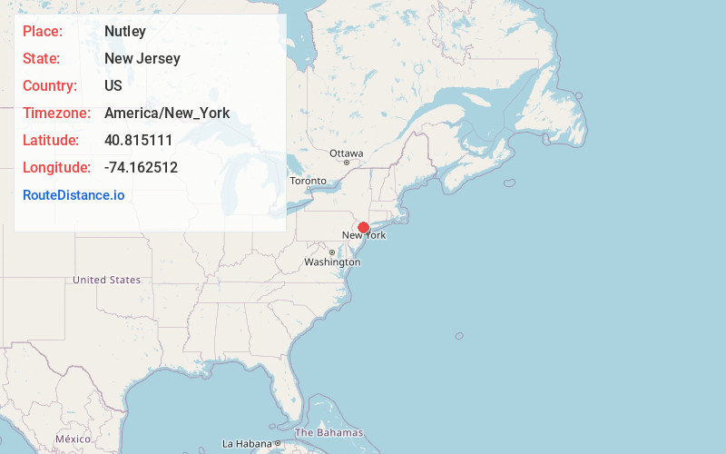
Full AddressNutley, NJ
-
Coordinates40.8151107, -74.162512
-
LocationNutley , New Jersey , US
-
TimezoneAmerica/New_York
-
Current Local Time4:23:01 AM America/New_YorkWednesday, June 18, 2025
-
Website
-
Page Views0
About Nutley
Nutley is a township in Essex County, in the U.S. state of New Jersey. As of the 2020 United States census, the township's population was 30,143, an increase of 1,773 from the 2010 census count of 28,370, which in turn reflected an increase of 1,008 from the 27,362 counted in the 2000 census.


Nearby Places
Found 10 places within 50 miles

Bloomfield
1.3 mi
2.1 km
Bloomfield, NJ
Get directions

Belleville
2.0 mi
3.2 km
Belleville, NJ
Get directions

Montclair
3.1 mi
5.0 km
Montclair, NJ
Get directions

Kearny
3.2 mi
5.1 km
Kearny, NJ
Get directions

Passaic
3.4 mi
5.5 km
Passaic, NJ
Get directions

Clifton
3.5 mi
5.6 km
Clifton, NJ
Get directions

East Orange
4.5 mi
7.2 km
East Orange, NJ
Get directions

City of Orange
5.2 mi
8.4 km
City of Orange, NJ
Get directions

West Orange
5.2 mi
8.4 km
West Orange, NJ 07052
Get directions

Garfield
5.4 mi
8.7 km
Garfield, NJ
Get directions
Location Links
Local Weather
Weather Information
Coming soon!
Location Map
Static map view of Nutley, New Jersey
Browse Places by Distance
Places within specific distances from Nutley
Short Distances
Long Distances
Click any distance to see all places within that range from Nutley. Distances shown in miles (1 mile ≈ 1.61 kilometers).