Distance to Oak Bowery, Alabama

Calculating Your Route
Just a moment while we process your request...
Location Information
-
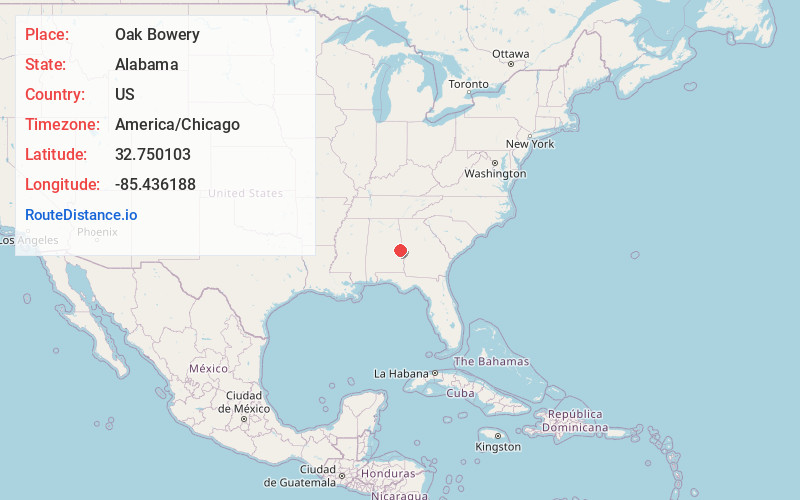
Full AddressOak Bowery, AL 36862
-
Coordinates32.750103, -85.436188
-
LocationOak Bowery , Alabama , US
-
TimezoneAmerica/Chicago
-
Current Local Time12:32:51 AM America/ChicagoWednesday, May 21, 2025
-
Page Views0
About Oak Bowery
Oak Bowery is an unincorporated community in southern Chambers County, Alabama, United States. It lies along U.S. Route 431, north of Auburn.
Nearby Places
Found 10 places within 50 miles

Danway
3.5 mi
5.6 km
Danway, AL 36862
Get directions
Sturkie
3.8 mi
6.1 km
Sturkie, AL 36862
Get directions
Liberty Crossroads
3.8 mi
6.1 km
Liberty Crossroads, AL 36862
Get directions
Stonewall
3.8 mi
6.1 km
Stonewall, AL 36801
Get directions
Tuckersburg
4.0 mi
6.4 km
Tuckersburg, AL 36862
Get directions
Gold Hill
4.6 mi
7.4 km
Gold Hill, Auburn, AL 36879
Get directions
Mt Jefferson
4.6 mi
7.4 km
Mt Jefferson, Opelika, AL 36801
Get directions
Boyds
5.0 mi
8.0 km
Boyds, AL 36862
Get directions
Moorefield
5.2 mi
8.4 km
Moorefield, AL 36862
Get directions
The Bottle
6.0 mi
9.7 km
The Bottle, AL 36830
Get directions
Location Links
Local Weather
Weather Information
Coming soon!
Location Map
Static map view of Oak Bowery, Alabama
Browse Places by Distance
Places within specific distances from Oak Bowery
Short Distances
Long Distances
Click any distance to see all places within that range from Oak Bowery. Distances shown in miles (1 mile ≈ 1.61 kilometers).