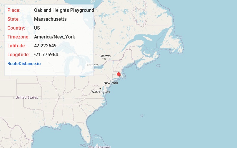
Distance to Oakland Heights Playground, Massachusetts

Calculating Your Route
Just a moment while we process your request...
Location Information
-
Full AddressOakland Heights Playground, Worcester, MA 01607
-
Coordinates42.2226491, -71.7759637
-
NeighborhoodBroadmeadow Brook
-
LocationWorcester , Massachusetts , US
-
TimezoneAmerica/New_York
-
Current Local Time10:09:53 AM America/New_YorkSaturday, May 31, 2025
-
Page Views0
Nearby Places
Found 10 places within 50 miles

Millbury
2.3 mi
3.7 km
Millbury, MA
Get directions

Worcester
3.1 mi
5.0 km
Worcester, MA
Get directions

Auburn
3.6 mi
5.8 km
Auburn, MA
Get directions

Marions Camp
4.6 mi
7.4 km
Marions Camp, Sutton, MA 01590
Get directions

Grafton
4.7 mi
7.6 km
Grafton, MA
Get directions

Sutton
5.1 mi
8.2 km
Sutton, MA
Get directions

Shrewsbury
5.5 mi
8.9 km
Shrewsbury, MA
Get directions

Leicester
7.0 mi
11.3 km
Leicester, MA
Get directions
Camp Barton
7.7 mi
12.4 km
Camp Barton, Oxford, MA 01537
Get directions

Boylston
8.0 mi
12.9 km
Boylston, MA
Get directions
Location Links
Local Weather
Weather Information
Coming soon!
Location Map
Static map view of Oakland Heights Playground, Massachusetts
Browse Places by Distance
Places within specific distances from Oakland Heights Playground
Short Distances
Long Distances
Click any distance to see all places within that range from Oakland Heights Playground. Distances shown in miles (1 mile ≈ 1.61 kilometers).