Distance to Oakley, Iowa

Calculating Your Route
Just a moment while we process your request...
Location Information
-
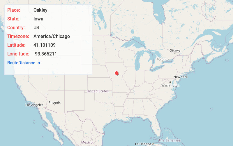
Full AddressOakley, IA 50049
-
Coordinates41.1011092, -93.3652107
-
LocationIowa , US
-
TimezoneAmerica/Chicago
-
Current Local Time9:11:10 AM America/ChicagoTuesday, June 3, 2025
-
Page Views0
About Oakley
Oakley is an unincorporated community in Liberty Township, Lucas County, Iowa, United States. Oakley is located along county highways H20 and S23,6.2 miles north-northwest of Chariton.
Nearby Places
Found 10 places within 50 miles

Williamson
5.8 mi
9.3 km
Williamson, IA
Get directions
Lacona
6.2 mi
10.0 km
Lacona, IA 50139
Get directions

Chariton
6.2 mi
10.0 km
Chariton, IA 50049
Get directions
Lucas
7.1 mi
11.4 km
Lucas, IA
Get directions
Bauer
7.7 mi
12.4 km
Bauer, IA 50139
Get directions

Liberty Center
10.0 mi
16.1 km
Liberty Center, IA
Get directions
Melcher-Dallas
10.7 mi
17.2 km
Melcher-Dallas, IA
Get directions
Russell
11.9 mi
19.2 km
Russell, IA 50238
Get directions
Derby
12.6 mi
20.3 km
Derby, IA 50068
Get directions
Woodburn
13.7 mi
22.0 km
Woodburn, IA 50275
Get directions
Location Links
Local Weather
Weather Information
Coming soon!
Location Map
Static map view of Oakley, Iowa
Browse Places by Distance
Places within specific distances from Oakley
Short Distances
Long Distances
Click any distance to see all places within that range from Oakley. Distances shown in miles (1 mile ≈ 1.61 kilometers).