Distance to Occoneechee State Park, Virginia

Calculating Your Route
Just a moment while we process your request...
Location Information
-
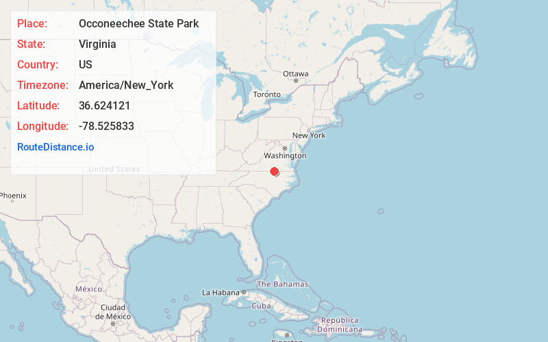
Full AddressOcconeechee State Park, 1192 Occoneechee Park Rd, Clarksville, VA 23927
-
Coordinates36.6241207, -78.5258334
-
Street1192 Occoneechee Park Rd
-
LocationClarksville , Virginia , US
-
TimezoneAmerica/New_York
-
Current Local Time7:38:01 AM America/New_YorkFriday, May 30, 2025
-
Page Views0
About Occoneechee State Park
Natural area on Buggs Island Lake offering fishing, camping, hiking & horse riding over 2,700-acres.


Nearby Places
Found 10 places within 50 miles

Clarksville
1.7 mi
2.7 km
Clarksville, VA
Get directions

Jeffress
2.1 mi
3.4 km
Jeffress, VA 23927
Get directions
Finchley
2.7 mi
4.3 km
Finchley, VA 23927
Get directions
Grassy Creek
4.1 mi
6.6 km
Grassy Creek, Virginia 23927
Get directions
Soudan
4.2 mi
6.8 km
Soudan, VA 23927
Get directions
Sandy Fork
4.7 mi
7.6 km
Sandy Fork, VA 24529
Get directions
Skipwith
5.2 mi
8.4 km
Skipwith, VA 23968
Get directions
Buffalo Junction
6.0 mi
9.7 km
Buffalo Junction, VA 24529
Get directions
Richardson
6.2 mi
10.0 km
Richardson, VA 23927
Get directions

Shiny Rock
6.3 mi
10.1 km
Shiny Rock, VA 23927
Get directions
Location Links
Local Weather
Weather Information
Coming soon!
Location Map
Static map view of Occoneechee State Park, Virginia
Browse Places by Distance
Places within specific distances from Occoneechee State Park
Short Distances
Long Distances
Click any distance to see all places within that range from Occoneechee State Park. Distances shown in miles (1 mile ≈ 1.61 kilometers).