Distance to Ochlocknee, Georgia

Calculating Your Route
Just a moment while we process your request...
Location Information
-
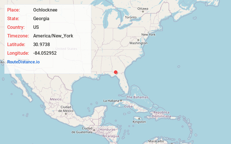
Full AddressOchlocknee, GA 31773
-
Coordinates30.9737997, -84.0529518
-
LocationOchlocknee , Georgia , US
-
TimezoneAmerica/New_York
-
Current Local Time5:12:10 AM America/New_YorkTuesday, June 3, 2025
-
Page Views0
About Ochlocknee
Ochlocknee is a town in Thomas County, Georgia, United States. The population was 672 in 2020. The city was incorporated on January 1, 1970.


Nearby Places
Found 10 places within 50 miles

Meigs
7.1 mi
11.4 km
Meigs, GA 31765
Get directions

Thomasville
10.5 mi
16.9 km
Thomasville, GA
Get directions

Cairo
11.0 mi
17.7 km
Cairo, GA
Get directions

Coolidge
11.4 mi
18.3 km
Coolidge, GA 31738
Get directions

Pelham
12.1 mi
19.5 km
Pelham, GA 31779
Get directions

Pavo
18.7 mi
30.1 km
Pavo, GA 31778
Get directions

Funston
18.9 mi
30.4 km
Funston, GA 31768
Get directions

Boston
20.0 mi
32.2 km
Boston, GA 31626
Get directions

Camilla
20.1 mi
32.3 km
Camilla, GA 31730
Get directions

Moultrie
21.1 mi
34.0 km
Moultrie, GA
Get directions
Location Links
Local Weather
Weather Information
Coming soon!
Location Map
Static map view of Ochlocknee, Georgia
Browse Places by Distance
Places within specific distances from Ochlocknee
Short Distances
Long Distances
Click any distance to see all places within that range from Ochlocknee. Distances shown in miles (1 mile ≈ 1.61 kilometers).