Distance to Oconee, Georgia

Calculating Your Route
Just a moment while we process your request...
Location Information
-
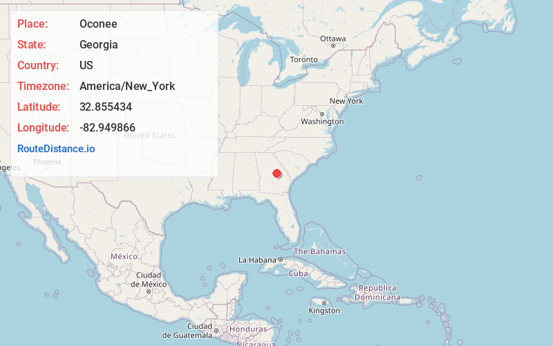
Full AddressOconee, GA
-
Coordinates32.8554338, -82.949866
-
LocationOconee , Georgia , US
-
TimezoneAmerica/New_York
-
Current Local Time5:37:12 AM America/New_YorkWednesday, June 18, 2025
-
Page Views0
About Oconee
Oconee is a city in Washington County, Georgia, United States. The population was 197 in 2020.


Nearby Places
Found 10 places within 50 miles

Toomsboro
7.8 mi
12.6 km
Toomsboro, GA
Get directions

Tennille
9.8 mi
15.8 km
Tennille, GA 31089
Get directions

Sandersville
11.9 mi
19.2 km
Sandersville, GA
Get directions
Harrison
13.2 mi
21.2 km
Harrison, GA 31035
Get directions

Irwinton
13.3 mi
21.4 km
Irwinton, GA
Get directions

McIntyre
14.2 mi
22.9 km
McIntyre, GA 31054
Get directions

Wrightsville
16.0 mi
25.7 km
Wrightsville, GA 31096
Get directions

Ivey
20.5 mi
33.0 km
Ivey, GA 31031
Get directions

Davisboro
21.6 mi
34.8 km
Davisboro, GA 31018
Get directions

East Dublin
21.7 mi
34.9 km
East Dublin, GA 31027
Get directions
Location Links
Local Weather
Weather Information
Coming soon!
Location Map
Static map view of Oconee, Georgia
Browse Places by Distance
Places within specific distances from Oconee
Short Distances
Long Distances
Click any distance to see all places within that range from Oconee. Distances shown in miles (1 mile ≈ 1.61 kilometers).