Distance to Oconee National Forest, Georgia

Calculating Your Route
Just a moment while we process your request...
Location Information
-
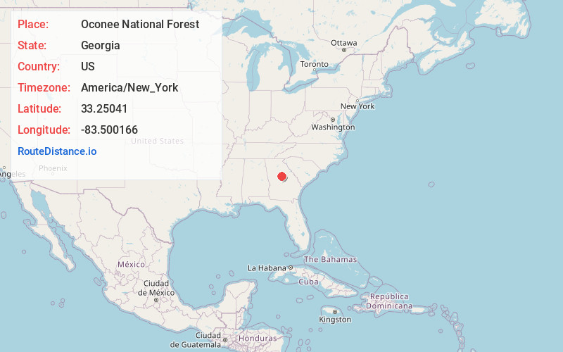
Full AddressOconee National Forest, Georgia 31024
-
Coordinates33.2504102, -83.5001658
-
LocationGeorgia , US
-
TimezoneAmerica/New_York
-
Current Local Time6:00:51 PM America/New_YorkSunday, June 1, 2025
-
Page Views0


Nearby Places
Found 10 places within 50 miles

Stanfordville
1.9 mi
3.1 km
Stanfordville, GA 31024
Get directions
Note
2.4 mi
3.9 km
Note, GA 31024
Get directions
Willard
4.0 mi
6.4 km
Willard, GA 31024
Get directions
Resseaus Crossroads
5.1 mi
8.2 km
Resseaus Crossroads, GA 31024
Get directions
Smithboro
6.1 mi
9.8 km
Smithboro, GA 31064
Get directions
Goolsby
7.2 mi
11.6 km
Goolsby, GA 31064
Get directions
Warfield
7.5 mi
12.1 km
Warfield, Eatonton, GA 31024
Get directions
Hallwood
7.9 mi
12.7 km
Hallwood, GA 31024
Get directions
Meda
8.0 mi
12.9 km
Meda, GA 31024
Get directions

Putnam County
8.0 mi
12.9 km
Putnam County, GA
Get directions
Location Links
Local Weather
Weather Information
Coming soon!
Location Map
Static map view of Oconee National Forest, Georgia
Browse Places by Distance
Places within specific distances from Oconee National Forest
Short Distances
Long Distances
Click any distance to see all places within that range from Oconee National Forest. Distances shown in miles (1 mile ≈ 1.61 kilometers).