Distance to Odin, Missouri

Calculating Your Route
Just a moment while we process your request...
Location Information
-
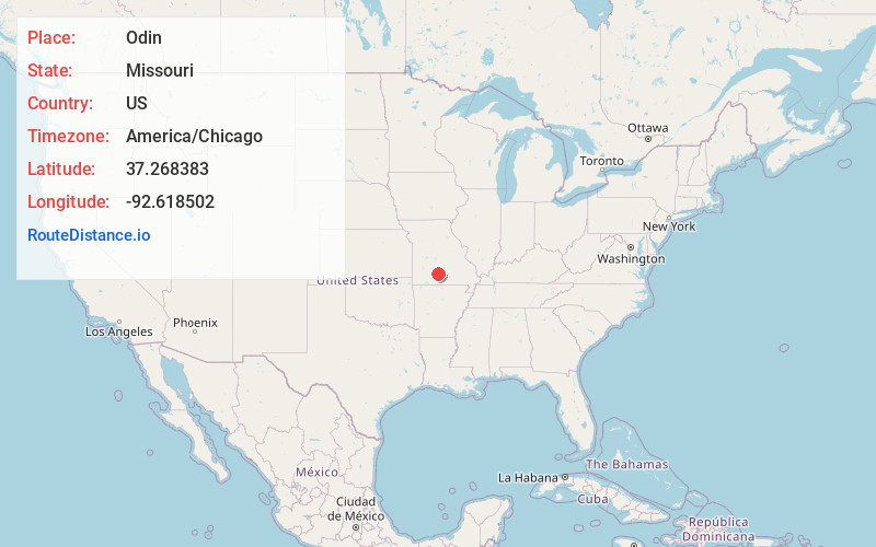
Full AddressOdin, Boone Township, MO 65667
-
Coordinates37.268383, -92.6185023
-
LocationBoone Township , Missouri , US
-
TimezoneAmerica/Chicago
-
Current Local Time11:04:31 AM America/ChicagoMonday, June 23, 2025
-
Page Views0
About Odin
Odin is an unincorporated community in Wright County, in the U.S. state of Missouri. The community is located on Missouri Route 38, approximately five miles west of Hartville. It is located at the confluence of Bowman Creek and the Woods Fork of the Gasconade River.


Nearby Places
Found 10 places within 50 miles

New Grove
3.0 mi
4.8 km
New Grove, Gasconade Township, MO 65667
Get directions
Duncan
4.1 mi
6.6 km
Duncan, Boone Township, MO 65706
Get directions
Loring
5.8 mi
9.3 km
Loring, Boone Township, MO 65667
Get directions

Hartville
6.1 mi
9.8 km
Hartville, MO 65667
Get directions
Grovespring
9.1 mi
14.6 km
Grovespring, MO 65662
Get directions

Mansfield
11.4 mi
18.3 km
Mansfield, MO 65704
Get directions

Seymour
11.8 mi
19.0 km
Seymour, MO 65746
Get directions

Niangua
14.4 mi
23.2 km
Niangua, MO 65713
Get directions
Diggins
14.6 mi
23.5 km
Diggins, MO 65746
Get directions
Vance
14.8 mi
23.8 km
Vance, Union Township, MO 65713
Get directions
Location Links
Local Weather
Weather Information
Coming soon!
Location Map
Static map view of Odin, Missouri
Browse Places by Distance
Places within specific distances from Odin
Short Distances
Long Distances
Click any distance to see all places within that range from Odin. Distances shown in miles (1 mile ≈ 1.61 kilometers).