Distance to O'Donnell Bend, Arkansas

Calculating Your Route
Just a moment while we process your request...
Location Information
-
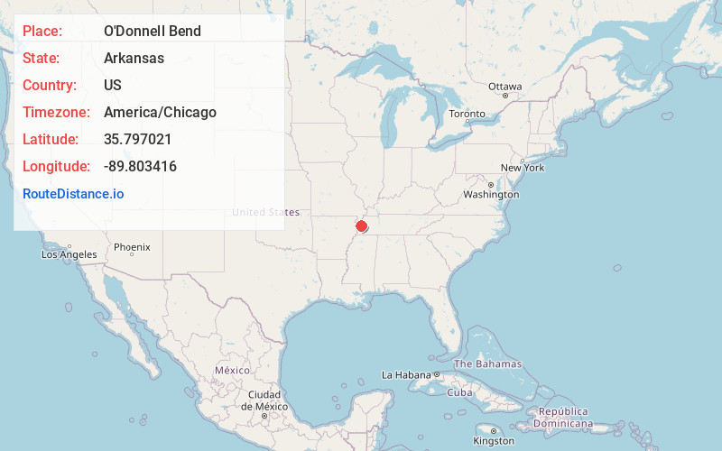
Full AddressO'Donnell Bend, AR 72358
-
Coordinates35.797021, -89.8034155
-
LocationArkansas , US
-
TimezoneAmerica/Chicago
-
Current Local Time12:28:06 AM America/ChicagoSunday, June 22, 2025
-
Page Views0
Nearby Places
Found 10 places within 50 miles

Ashport
2.7 mi
4.3 km
Ashport, TN 38063
Get directions
Tomato
4.7 mi
7.6 km
Tomato, AR 72358
Get directions
Golddust
5.8 mi
9.3 km
Golddust, TN 38063
Get directions
Barr
7.1 mi
11.4 km
Barr, TN 38040
Get directions
Tuckertown
7.5 mi
12.1 km
Tuckertown, Burdette, AR 72358
Get directions

Luxora
7.6 mi
12.2 km
Luxora, AR 72358
Get directions
Barfield
7.7 mi
12.4 km
Barfield, AR 72315
Get directions
Burdette
7.7 mi
12.4 km
Burdette, AR
Get directions
Olive Branch
8.4 mi
13.5 km
Olive Branch, TN 38063
Get directions
Armorel
8.5 mi
13.7 km
Armorel, AR 72315
Get directions
Location Links
Local Weather
Weather Information
Coming soon!
Location Map
Static map view of O'Donnell Bend, Arkansas
Browse Places by Distance
Places within specific distances from O'Donnell Bend
Short Distances
Long Distances
Click any distance to see all places within that range from O'Donnell Bend. Distances shown in miles (1 mile ≈ 1.61 kilometers).