Distance to Oella, Maryland

Calculating Your Route
Just a moment while we process your request...
Location Information
-
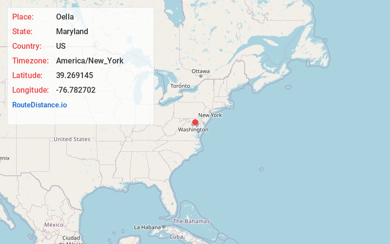
Full AddressOella, Catonsville, MD
-
Coordinates39.2691449, -76.782702
-
NeighborhoodOella
-
LocationCatonsville , Maryland , US
-
TimezoneAmerica/New_York
-
Current Local Time3:30:20 AM America/New_YorkSunday, June 1, 2025
-
Page Views0
About Oella
Oella is a mill town on the Patapsco River in western Baltimore County, Maryland, United States, located between Catonsville and Ellicott City. It is a 19th-century village of millworkers' homes.


Nearby Places
Found 10 places within 50 miles

Rockwell
0.7 mi
1.1 km
Rockwell, Catonsville, MD 21228
Get directions
Gray
0.8 mi
1.3 km
Gray, Ellicott City, MD 21043
Get directions

Ellicott City
0.8 mi
1.3 km
Ellicott City, MD
Get directions
Ridgeway
1.2 mi
1.9 km
Ridgeway, Catonsville, MD 21228
Get directions
Chestnut Hill
1.4 mi
2.3 km
Chestnut Hill, Ellicott City, MD 21043
Get directions
Catonsville Heights
2.0 mi
3.2 km
Catonsville Heights, Catonsville, MD 21228
Get directions

Catonsville
2.7 mi
4.3 km
Catonsville, MD
Get directions
Chadwick Manor
2.9 mi
4.7 km
Chadwick Manor, Woodlawn, MD 21244
Get directions
Glenmar
3.3 mi
5.3 km
Glenmar, Ilchester, MD 21043
Get directions

Daniels
3.8 mi
6.1 km
Daniels, MD 21244
Get directions
Location Links
Local Weather
Weather Information
Coming soon!
Location Map
Static map view of Oella, Maryland
Browse Places by Distance
Places within specific distances from Oella
Short Distances
Long Distances
Click any distance to see all places within that range from Oella. Distances shown in miles (1 mile ≈ 1.61 kilometers).