Distance to Daniels, Maryland

Calculating Your Route
Just a moment while we process your request...
Location Information
-
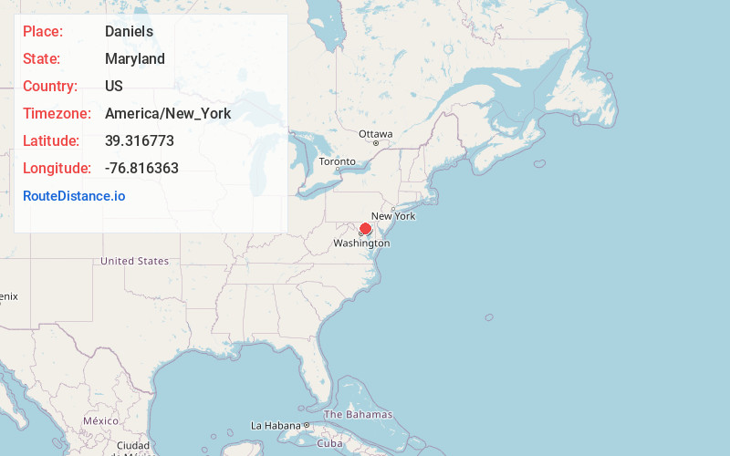
Full AddressDaniels, MD 21244
-
Coordinates39.3167725, -76.8163634
-
LocationDaniels , Maryland , US
-
TimezoneAmerica/New_York
-
Current Local Time1:48:14 PM America/New_YorkTuesday, July 1, 2025
-
Page Views0
About Daniels
Daniels is a ghost town straddling the Patapsco River east of Woodstock and north of Old Ellicott City in Baltimore and Howard counties, Maryland, United States. It is the location of the Daniels Mill, a site listed on the National Register of Historic Places.


Nearby Places
Found 10 places within 50 miles

Chestnut Hill
2.3 mi
3.7 km
Chestnut Hill, Ellicott City, MD 21043
Get directions
Granite
2.8 mi
4.5 km
Granite, MD 21163
Get directions

Milford Mill
3.3 mi
5.3 km
Milford Mill, MD
Get directions
Rockwell
3.5 mi
5.6 km
Rockwell, Catonsville, MD 21228
Get directions

Ellicott City
3.6 mi
5.8 km
Ellicott City, MD
Get directions

Randallstown
3.7 mi
6.0 km
Randallstown, MD
Get directions
Ridgeway
4.1 mi
6.6 km
Ridgeway, Catonsville, MD 21228
Get directions
Gray
4.4 mi
7.1 km
Gray, Ellicott City, MD 21043
Get directions
Catonsville Heights
4.6 mi
7.4 km
Catonsville Heights, Catonsville, MD 21228
Get directions
Scotts Level
4.6 mi
7.4 km
Scotts Level, Milford Mill, MD 21208
Get directions
Location Links
Local Weather
Weather Information
Coming soon!
Location Map
Static map view of Daniels, Maryland
Browse Places by Distance
Places within specific distances from Daniels
Short Distances
Long Distances
Click any distance to see all places within that range from Daniels. Distances shown in miles (1 mile ≈ 1.61 kilometers).