Distance to Randallstown, Maryland

Calculating Your Route
Just a moment while we process your request...
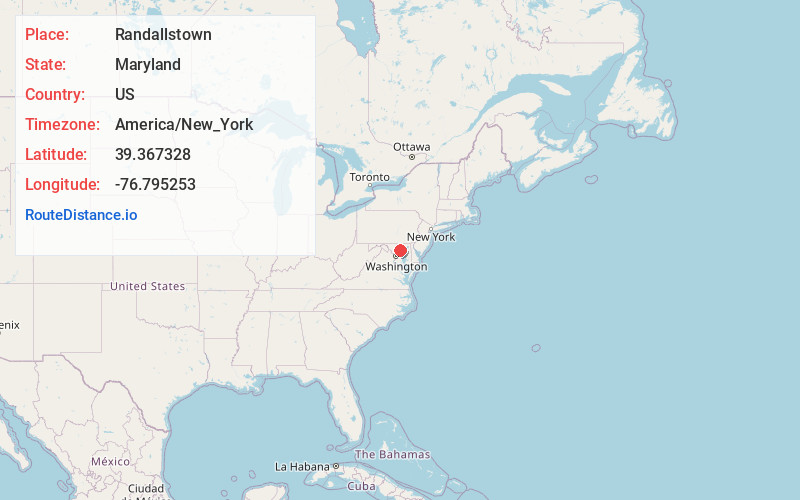
Location Information
-
Full AddressRandallstown, MD
-
Coordinates39.3673278, -76.7952525
-
LocationRandallstown , Maryland , US
-
TimezoneAmerica/New_York
-
Current Local Time5:25:10 AM America/New_YorkWednesday, June 18, 2025
-
Page Views0
About Randallstown
Randallstown is an unincorporated community and census-designated place in Baltimore County, Maryland, United States. It is named after Christopher and Thomas Randall, two 18th-century tavern-keepers. At that time, Randallstown was a tollgate crossroads on the Liberty Turnpike, a major east–west thoroughfare.


Nearby Places
Found 10 places within 50 miles

Woodlawn
4.7 mi
7.6 km
Woodlawn, MD
Get directions

Ellicott City
6.9 mi
11.1 km
Ellicott City, MD
Get directions

Catonsville
7.4 mi
11.9 km
Catonsville, MD
Get directions

Towson
10.4 mi
16.7 km
Towson, MD
Get directions

Baltimore
11.2 mi
18.0 km
Baltimore, MD
Get directions

Columbia
11.8 mi
19.0 km
Columbia, MD
Get directions

Glen Burnie
16.7 mi
26.9 km
Glen Burnie, MD
Get directions

Severn
16.7 mi
26.9 km
Severn, MD
Get directions

Dundalk
16.8 mi
27.0 km
Dundalk, MD
Get directions

Essex
17.6 mi
28.3 km
Essex, MD 21221
Get directions
Location Links
Local Weather
Weather Information
Coming soon!
Location Map
Static map view of Randallstown, Maryland
Browse Places by Distance
Places within specific distances from Randallstown
Short Distances
Long Distances
Click any distance to see all places within that range from Randallstown. Distances shown in miles (1 mile ≈ 1.61 kilometers).