Distance to Scotts Level, Maryland

Calculating Your Route
Just a moment while we process your request...
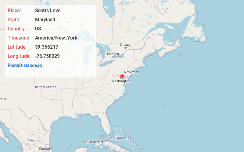
Location Information
-
Full AddressScotts Level, Milford Mill, MD 21208
-
Coordinates39.3662171, -76.7580293
-
LocationMilford Mill , Maryland , US
-
TimezoneAmerica/New_York
-
Current Local Time8:26:39 AM America/New_YorkThursday, June 19, 2025
-
Page Views0
Nearby Places
Found 10 places within 50 miles

Mt Wilson
1.2 mi
1.9 km
Mt Wilson, Randallstown, MD 21208
Get directions

Milford Mill
1.4 mi
2.3 km
Milford Mill, MD
Get directions

Pikesville
2.0 mi
3.2 km
Pikesville, MD
Get directions

Randallstown
2.0 mi
3.2 km
Randallstown, MD
Get directions
Horsehead Branch
2.2 mi
3.5 km
Horsehead Branch, Maryland
Get directions
Garrison
2.7 mi
4.3 km
Garrison, MD
Get directions
Long Meadows Estates
2.8 mi
4.5 km
Long Meadows Estates, Pikesville, MD 21208
Get directions
Chattolanee
3.0 mi
4.8 km
Chattolanee, Garrison, MD 21117
Get directions
Cranwood
3.3 mi
5.3 km
Cranwood, Pikesville, MD 21208
Get directions
Woodlawn
3.4 mi
5.5 km
Woodlawn, MD
Get directions
Location Links
Local Weather
Weather Information
Coming soon!
Location Map
Static map view of Scotts Level, Maryland
Browse Places by Distance
Places within specific distances from Scotts Level
Short Distances
Long Distances
Click any distance to see all places within that range from Scotts Level. Distances shown in miles (1 mile ≈ 1.61 kilometers).