Distance to Ogema Township, Minnesota

Calculating Your Route
Just a moment while we process your request...
Location Information
-
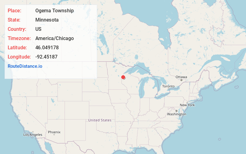
Full AddressOgema Township, MN
-
Coordinates46.0491783, -92.4518703
-
LocationOgema Township , Minnesota , US
-
TimezoneAmerica/Chicago
-
Current Local Time12:33:15 PM America/ChicagoMonday, June 2, 2025
-
Page Views0
About Ogema Township
Ogema Township is a township in Pine County, Minnesota, United States. The population was 298 at the 2000 census.
Ogema is a name derived from the Ojibwe language ogimaa meaning "chief".
Nearby Places
Found 10 places within 50 miles

Danbury
4.9 mi
7.9 km
Danbury, WI 54830
Get directions

Duxbury
6.1 mi
9.8 km
Duxbury, MN 55072
Get directions
Markville
6.5 mi
10.5 km
Markville, MN 55072
Get directions

Yellow Lake
8.3 mi
13.4 km
Yellow Lake, WI 54830
Get directions
Cloverton
10.4 mi
16.7 km
Cloverton, MN 55072
Get directions
Woodland Corner
12.1 mi
19.5 km
Woodland Corner, WI 54830
Get directions

Webster
12.5 mi
20.1 km
Webster, WI 54893
Get directions

Cloverdale
14.0 mi
22.5 km
Cloverdale, MN 55037
Get directions
Kingsdale
14.7 mi
23.7 km
Kingsdale, MN 55072
Get directions

Webb Lake
15.6 mi
25.1 km
Webb Lake, WI 54830
Get directions
Location Links
Local Weather
Weather Information
Coming soon!
Location Map
Static map view of Ogema Township, Minnesota
Browse Places by Distance
Places within specific distances from Ogema Township
Short Distances
Long Distances
Click any distance to see all places within that range from Ogema Township. Distances shown in miles (1 mile ≈ 1.61 kilometers).