Distance to Oglesby, Georgia

Calculating Your Route
Just a moment while we process your request...
Location Information
-
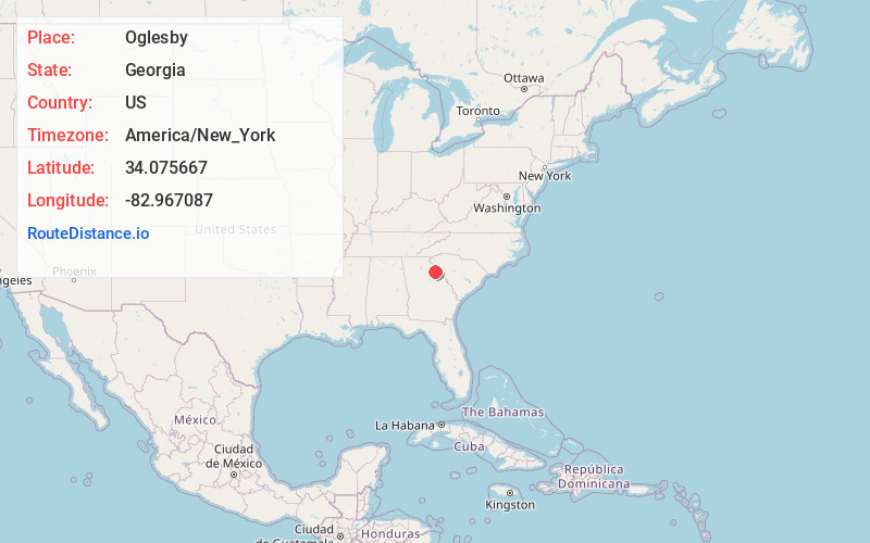
Full AddressOglesby, GA 30635
-
Coordinates34.075667, -82.9670869
-
LocationGeorgia , US
-
TimezoneAmerica/New_York
-
Current Local Time12:22:31 AM America/New_YorkThursday, June 26, 2025
-
Page Views0
Nearby Places
Found 10 places within 50 miles

Dove Creek
1.5 mi
2.4 km
Dove Creek, GA 30635
Get directions

Carlton
4.4 mi
7.1 km
Carlton, GA 30627
Get directions
Match
6.2 mi
10.0 km
Match, GA 30624
Get directions

Elberton
6.2 mi
10.0 km
Elberton, GA 30635
Get directions

Dewy Rose
6.6 mi
10.6 km
Dewy Rose, GA 30634
Get directions
Silk Mills
7.2 mi
11.6 km
Silk Mills, GA 30635
Get directions
Saxon
7.5 mi
12.1 km
Saxon, GA 30627
Get directions
Vesta
8.4 mi
13.5 km
Vesta, GA 30627
Get directions

Comer
9.1 mi
14.6 km
Comer, GA 30629
Get directions
Veribest
9.2 mi
14.8 km
Veribest, GA 30627
Get directions
Location Links
Local Weather
Weather Information
Coming soon!
Location Map
Static map view of Oglesby, Georgia
Browse Places by Distance
Places within specific distances from Oglesby
Short Distances
Long Distances
Click any distance to see all places within that range from Oglesby. Distances shown in miles (1 mile ≈ 1.61 kilometers).