Distance to Dewy Rose, Georgia

Calculating Your Route
Just a moment while we process your request...
Location Information
-
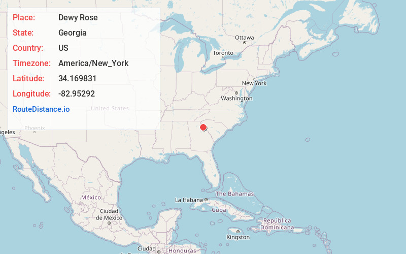
Full AddressDewy Rose, GA 30634
-
Coordinates34.1698309, -82.9529198
-
LocationDewy Rose , Georgia , US
-
TimezoneAmerica/New_York
-
Current Local Time2:07:27 PM America/New_YorkTuesday, June 24, 2025
-
Page Views0
About Dewy Rose
Dewy Rose is an unincorporated community and census-designated place in Elbert County, Georgia, United States. Its population was 161 as of the 2020 census. Dewy Rose has a post office with ZIP code 30634. Georgia State Route 17 passes through the community.


Nearby Places
Found 10 places within 50 miles

Bowman
5.1 mi
8.2 km
Bowman, GA 30624
Get directions

Elberton
6.4 mi
10.3 km
Elberton, GA 30635
Get directions

Carlton
9.9 mi
15.9 km
Carlton, GA 30627
Get directions

Royston
12.1 mi
19.5 km
Royston, GA 30662
Get directions

Comer
12.3 mi
19.8 km
Comer, GA 30629
Get directions

Hartwell
12.7 mi
20.4 km
Hartwell, GA 30643
Get directions

Franklin Springs
13.5 mi
21.7 km
Franklin Springs, GA 30662
Get directions

Canon
15.1 mi
24.3 km
Canon, GA 30520
Get directions

Danielsville
15.7 mi
25.3 km
Danielsville, GA 30633
Get directions

Bowersville
15.9 mi
25.6 km
Bowersville, GA
Get directions
Location Links
Local Weather
Weather Information
Coming soon!
Location Map
Static map view of Dewy Rose, Georgia
Browse Places by Distance
Places within specific distances from Dewy Rose
Short Distances
Long Distances
Click any distance to see all places within that range from Dewy Rose. Distances shown in miles (1 mile ≈ 1.61 kilometers).