Distance to Oil Center, New Mexico

Calculating Your Route
Just a moment while we process your request...
Location Information
-
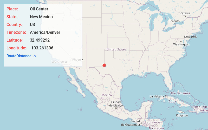
Full AddressOil Center, NM 88231
-
Coordinates32.4992916, -103.2613061
-
LocationOil Center , New Mexico , US
-
TimezoneAmerica/Denver
-
Current Local Time11:03:13 AM America/DenverTuesday, June 3, 2025
-
Page Views0

Nearby Places
Found 10 places within 50 miles

Jones City
8.1 mi
13.0 km
Jones City, NM 88231
Get directions

Monument
8.6 mi
13.8 km
Monument, NM 88240
Get directions

Jal
27.0 mi
43.5 km
Jal, NM 88252
Get directions

Lovington
31.1 mi
50.1 km
Lovington, NM 88260
Get directions

Seminole
39.0 mi
62.8 km
Seminole, TX 79360
Get directions

Denver City
40.8 mi
65.7 km
Denver City, TX 79323
Get directions

Andrews
43.6 mi
70.2 km
Andrews, TX 79714
Get directions
McDonald
44.4 mi
71.5 km
McDonald, NM 88260
Get directions
McKinney Acres
44.9 mi
72.3 km
McKinney Acres, TX 79714
Get directions

Kermit
45.4 mi
73.1 km
Kermit, TX 79745
Get directions
Location Links
Local Weather
Weather Information
Coming soon!
Location Map
Static map view of Oil Center, New Mexico
Browse Places by Distance
Places within specific distances from Oil Center
Short Distances
Long Distances
Click any distance to see all places within that range from Oil Center. Distances shown in miles (1 mile ≈ 1.61 kilometers).