Distance to Oklahoma Hills, Oklahoma

Calculating Your Route
Just a moment while we process your request...
Location Information
-
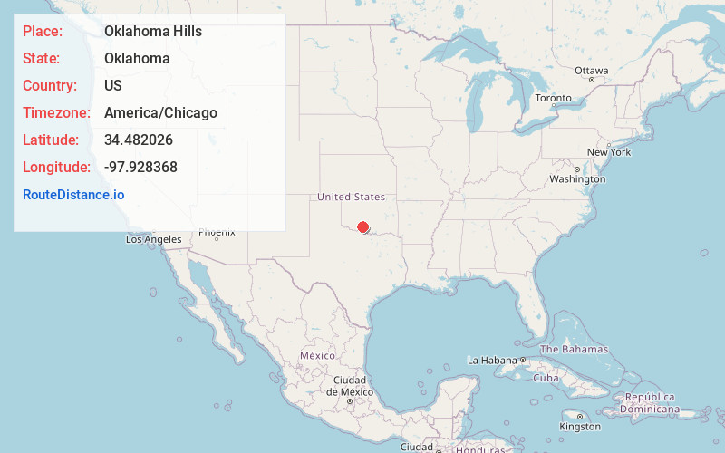
Full AddressOklahoma Hills, OK 73533
-
Coordinates34.482026, -97.928368
-
LocationOklahoma , US
-
TimezoneAmerica/Chicago
-
Current Local Time7:39:16 PM America/ChicagoWednesday, June 18, 2025
-
Page Views0
Nearby Places
Found 10 places within 50 miles

Duncan
2.2 mi
3.5 km
Duncan, OK
Get directions

Empire City
7.1 mi
11.4 km
Empire City, OK
Get directions

Comanche
8.1 mi
13.0 km
Comanche, OK
Get directions

Marlow
11.6 mi
18.7 km
Marlow, OK 73055
Get directions

Bray
12.5 mi
20.1 km
Bray, OK 73055
Get directions

Central High
12.7 mi
20.4 km
Central High, OK
Get directions

Dry Creek
14.3 mi
23.0 km
Dry Creek, Oklahoma
Get directions

Velma
14.6 mi
23.5 km
Velma, OK 73491
Get directions

Addington
16.6 mi
26.7 km
Addington, OK
Get directions

Loco
17.6 mi
28.3 km
Loco, OK 73442
Get directions
Location Links
Local Weather
Weather Information
Coming soon!
Location Map
Static map view of Oklahoma Hills, Oklahoma
Browse Places by Distance
Places within specific distances from Oklahoma Hills
Short Distances
Long Distances
Click any distance to see all places within that range from Oklahoma Hills. Distances shown in miles (1 mile ≈ 1.61 kilometers).