Distance to and from Central High, Oklahoma
Central High, OK
Central High
Oklahoma
US
America/Chicago
Location Information
-
Full AddressCentral High, OK
-
Coordinates34.6086456, -98.0893601
-
LocationCentral High , Oklahoma , US
-
TimezoneAmerica/Chicago
-
Current Local Time1:50:42 AM America/ChicagoSunday, May 4, 2025
-
Page Views0
Directions to Nearest Cities
About Central High
Central High is a town in Stephens County, Oklahoma, United States. The population was 1,181 at the time of the 2020 Census.


Nearby Places
Found 10 places within 50 miles

Marlow
7.9 mi
12.7 km
Marlow, OK 73055
Get directions

Duncan
10.5 mi
16.9 km
Duncan, OK
Get directions

Elgin
16.5 mi
26.6 km
Elgin, OK 73538
Get directions

Lawton
17.4 mi
28.0 km
Lawton, OK
Get directions

Comanche
18.0 mi
29.0 km
Comanche, OK
Get directions

Walters
21.2 mi
34.1 km
Walters, OK 73572
Get directions

Cache
30.7 mi
49.4 km
Cache, OK 73527
Get directions

Waurika
31.0 mi
49.9 km
Waurika, OK 73573
Get directions

Lindsay
31.8 mi
51.2 km
Lindsay, OK 73052
Get directions

Chickasha
31.9 mi
51.3 km
Chickasha, OK
Get directions
Marlow
7.9 mi
12.7 km
Marlow, OK 73055
Duncan
10.5 mi
16.9 km
Duncan, OK
Elgin
16.5 mi
26.6 km
Elgin, OK 73538
Lawton
17.4 mi
28.0 km
Lawton, OK
Comanche
18.0 mi
29.0 km
Comanche, OK
Walters
21.2 mi
34.1 km
Walters, OK 73572
Cache
30.7 mi
49.4 km
Cache, OK 73527
Waurika
31.0 mi
49.9 km
Waurika, OK 73573
Lindsay
31.8 mi
51.2 km
Lindsay, OK 73052
Chickasha
31.9 mi
51.3 km
Chickasha, OK
Location Links
Local Weather
Weather Information
Coming soon!
Location Map
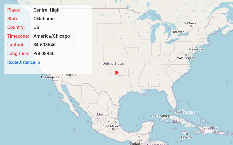
Static map view of Central High, Oklahoma
Browse Places by Distance
Places within specific distances from Central High
Short Distances
Long Distances
Click any distance to see all places within that range from Central High. Distances shown in miles (1 mile ≈ 1.61 kilometers).