Distance to Olberg, Arizona

Calculating Your Route
Just a moment while we process your request...
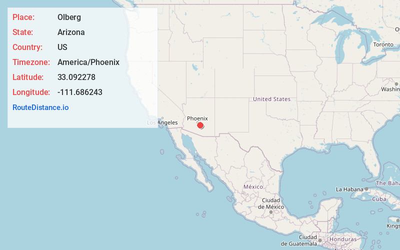
Location Information
-
Full AddressOlberg, AZ 85128
-
Coordinates33.0922784, -111.6862425
-
LocationOlberg , Arizona , US
-
TimezoneAmerica/Phoenix
-
Current Local Time11:46:35 AM America/PhoenixWednesday, June 18, 2025
-
Page Views0
About Olberg
Olberg is a populated place situated in Pinal County, Arizona, United States. The settlement was founded in 1903, and named after Colonel C.R. Olberg, the chief engineer of the Bureau of Indian Affairs, and as such supervised the construction of the Coolidge Dam which was built by the BIA.


Nearby Places
Found 10 places within 50 miles

Sacaton Flats
1.9 mi
3.1 km
Sacaton Flats, AZ
Get directions

Sacaton
3.3 mi
5.3 km
Sacaton, AZ
Get directions

Blackwater
7.3 mi
11.7 km
Blackwater, AZ
Get directions

Lower Santan Village
7.8 mi
12.6 km
Lower Santan Village, AZ
Get directions
Stotonic Village
8.6 mi
13.8 km
Stotonic Village, AZ
Get directions
Sweet Water Village
8.9 mi
14.3 km
Sweet Water Village, AZ 85121
Get directions
Sweetwater
9.4 mi
15.1 km
Sweetwater, AZ 85121
Get directions

San Tan Valley
10.0 mi
16.1 km
San Tan Valley, AZ
Get directions
Magma
11.2 mi
18.0 km
Magma, San Tan Valley, AZ 85143
Get directions

Queen Creek
11.2 mi
18.0 km
Queen Creek, AZ
Get directions
Location Links
Local Weather
Weather Information
Coming soon!
Location Map
Static map view of Olberg, Arizona
Browse Places by Distance
Places within specific distances from Olberg
Short Distances
Long Distances
Click any distance to see all places within that range from Olberg. Distances shown in miles (1 mile ≈ 1.61 kilometers).