Distance to Old Adobe Union Elementary School District, California

Calculating Your Route
Just a moment while we process your request...
Location Information
-
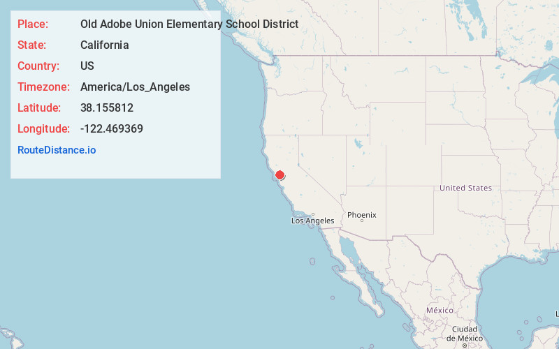
Full AddressOld Adobe Union Elementary School District, CA
-
Coordinates38.1558116, -122.4693688
-
LocationCalifornia , US
-
TimezoneAmerica/Los_Angeles
-
Current Local Time2:09:15 PM America/Los_AngelesWednesday, June 18, 2025
-
Page Views0
About Old Adobe Union Elementary School District
Old Adobe Union School District is a public school district in Sonoma County, California, United States.


Nearby Places
Found 10 places within 50 miles

Sears Point
1.1 mi
1.8 km
Sears Point, CA 95476
Get directions

Fairville
2.0 mi
3.2 km
Fairville, CA 95476
Get directions
McGill
3.4 mi
5.5 km
McGill, CA 95476
Get directions

Black Point-Green Point
3.9 mi
6.3 km
Black Point-Green Point, CA 94945
Get directions

Wingo
4.4 mi
7.1 km
Wingo, CA 95476
Get directions
Burdell
5.2 mi
8.4 km
Burdell, CA 94945
Get directions

Lakeville
5.2 mi
8.4 km
Lakeville, CA 94954
Get directions

Novato
6.4 mi
10.3 km
Novato, CA
Get directions

Schellville
6.4 mi
10.3 km
Schellville, CA 95476
Get directions
Merazo
6.8 mi
10.9 km
Merazo, CA 95476
Get directions
Location Links
Local Weather
Weather Information
Coming soon!
Location Map
Static map view of Old Adobe Union Elementary School District, California
Browse Places by Distance
Places within specific distances from Old Adobe Union Elementary School District
Short Distances
Long Distances
Click any distance to see all places within that range from Old Adobe Union Elementary School District. Distances shown in miles (1 mile ≈ 1.61 kilometers).