Distance to Old Botkinburg, Arkansas

Calculating Your Route
Just a moment while we process your request...
Location Information
-
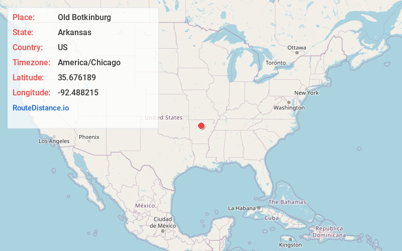
Full AddressOld Botkinburg, AR 72031
-
Coordinates35.6761889, -92.4882151
-
LocationArkansas , US
-
TimezoneAmerica/Chicago
-
Current Local Time2:31:46 AM America/ChicagoWednesday, June 18, 2025
-
Page Views0
Nearby Places
Found 10 places within 50 miles

Old Lexington
5.3 mi
8.5 km
Old Lexington, AR 72031
Get directions
Dennard
5.9 mi
9.5 km
Dennard, AR
Get directions

Clinton
6.0 mi
9.7 km
Clinton, AR 72031
Get directions
Crabtree
6.2 mi
10.0 km
Crabtree, AR 72031
Get directions
Rocky Hill
6.7 mi
10.8 km
Rocky Hill, Dennard, AR 72629
Get directions
Arlberg
6.8 mi
10.9 km
Arlberg, AR 72031
Get directions
Elba
6.8 mi
10.9 km
Elba, AR 72031
Get directions
Copeland
8.3 mi
13.4 km
Copeland, AR 72031
Get directions
Walnut Grove
8.7 mi
14.0 km
Walnut Grove, AR 72031
Get directions

Shirley
9.6 mi
15.4 km
Shirley, AR 72153
Get directions
Location Links
Local Weather
Weather Information
Coming soon!
Location Map
Static map view of Old Botkinburg, Arkansas
Browse Places by Distance
Places within specific distances from Old Botkinburg
Short Distances
Long Distances
Click any distance to see all places within that range from Old Botkinburg. Distances shown in miles (1 mile ≈ 1.61 kilometers).