Distance to Shirley, Arkansas

Calculating Your Route
Just a moment while we process your request...
Location Information
-
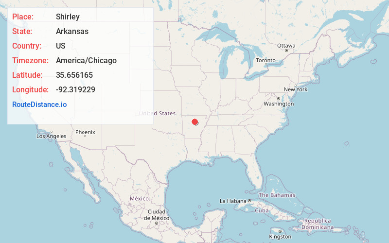
Full AddressShirley, AR 72153
-
Coordinates35.6561652, -92.319229
-
LocationShirley , Arkansas , US
-
TimezoneAmerica/Chicago
-
Current Local Time6:11:44 PM America/ChicagoTuesday, June 17, 2025
-
Page Views0
About Shirley
Shirley is a town in northeast Van Buren County, Arkansas, United States, along the Middle Fork of the Little Red River. A one-time railroad outpost, the community today is oriented toward agriculture and recreational activities due to the river and Greers Ferry Lake. The population was 248 as of the 2020 Census.


Nearby Places
Found 10 places within 50 miles

Fairfield Bay
4.5 mi
7.2 km
Fairfield Bay, AR
Get directions

Clinton
9.0 mi
14.5 km
Clinton, AR 72031
Get directions

Greers Ferry
10.0 mi
16.1 km
Greers Ferry, AR 72067
Get directions

Dennard
13.5 mi
21.7 km
Dennard, AR
Get directions

Leslie
18.1 mi
29.1 km
Leslie, AR 72645
Get directions

Mountain View
18.5 mi
29.8 km
Mountain View, AR 72560
Get directions

Quitman
19.7 mi
31.7 km
Quitman, AR 72131
Get directions

Heber Springs
19.8 mi
31.9 km
Heber Springs, AR 72543
Get directions

Damascus
20.8 mi
33.5 km
Damascus, AR 72039
Get directions
Tumbling Shoals
21.3 mi
34.3 km
Tumbling Shoals, AR
Get directions
Location Links
Local Weather
Weather Information
Coming soon!
Location Map
Static map view of Shirley, Arkansas
Browse Places by Distance
Places within specific distances from Shirley
Short Distances
Long Distances
Click any distance to see all places within that range from Shirley. Distances shown in miles (1 mile ≈ 1.61 kilometers).