Distance to Old Woollam, Missouri

Calculating Your Route
Just a moment while we process your request...
Location Information
-
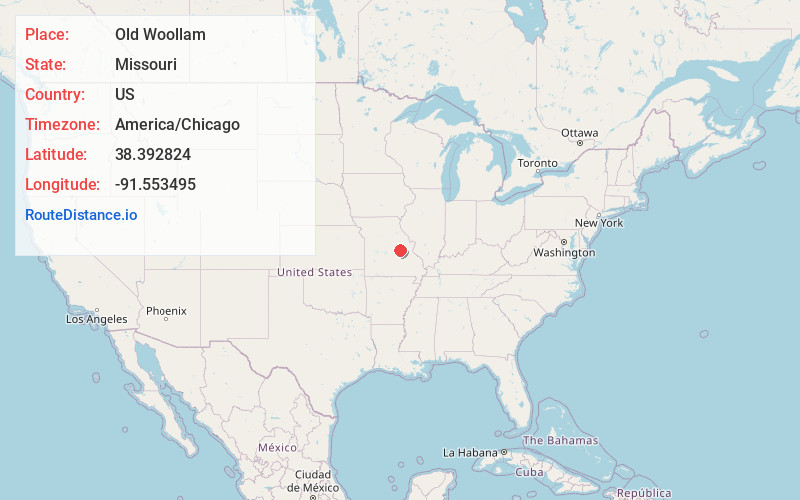
Full AddressOld Woollam, MO 65066
-
Coordinates38.3928242, -91.5534954
-
LocationOld Woollam , Missouri , US
-
TimezoneAmerica/Chicago
-
Current Local Time6:41:18 PM America/ChicagoWednesday, July 2, 2025
-
Page Views0
Nearby Places
Found 10 places within 50 miles

Owensville
4.3 mi
6.9 km
Owensville, MO 65066
Get directions

Bland
7.6 mi
12.2 km
Bland, MO 65014
Get directions

Rosebud
8.3 mi
13.4 km
Rosebud, MO 63091
Get directions

Belle
11.7 mi
18.8 km
Belle, MO 65013
Get directions

Gerald
12.1 mi
19.5 km
Gerald, MO 63037
Get directions
Feigler Ferry
12.2 mi
19.6 km
Feigler Ferry, MO 65041
Get directions
Sewell Ford
14.1 mi
22.7 km
Sewell Ford, Bourbois Township, MO 65014
Get directions
Stony Hill
14.2 mi
22.9 km
Stony Hill, MO 65066
Get directions

Linn
17.3 mi
27.8 km
Linn, MO 65051
Get directions
Leslie
17.5 mi
28.2 km
Leslie, MO 63056
Get directions
Location Links
Local Weather
Weather Information
Coming soon!
Location Map
Static map view of Old Woollam, Missouri
Browse Places by Distance
Places within specific distances from Old Woollam
Short Distances
Long Distances
Click any distance to see all places within that range from Old Woollam. Distances shown in miles (1 mile ≈ 1.61 kilometers).