Distance to Rosebud, Missouri

Calculating Your Route
Just a moment while we process your request...
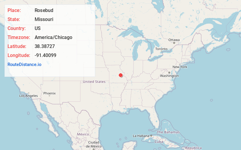
Location Information
-
Full AddressRosebud, MO 63091
-
Coordinates38.3872703, -91.4009896
-
LocationRosebud , Missouri , US
-
TimezoneAmerica/Chicago
-
Current Local Time10:36:26 PM America/ChicagoWednesday, June 18, 2025
-
Page Views0
About Rosebud
Rosebud is a city in Gasconade County, Missouri, United States. The population was 390 at the 2020 census.


Nearby Places
Found 10 places within 50 miles

Gerald
3.9 mi
6.3 km
Gerald, MO 63037
Get directions

Owensville
6.2 mi
10.0 km
Owensville, MO 65066
Get directions

Bland
13.9 mi
22.4 km
Bland, MO 65014
Get directions

Sullivan
18.0 mi
29.0 km
Sullivan, MO 63080
Get directions

New Haven
18.2 mi
29.3 km
New Haven, MO 63068
Get directions

Bourbon
18.2 mi
29.3 km
Bourbon, MO 65441
Get directions

Belle
18.7 mi
30.1 km
Belle, MO 65013
Get directions

Union
21.7 mi
34.9 km
Union, MO 63084
Get directions

Hermann
22.0 mi
35.4 km
Hermann, MO 65041
Get directions

Cuba
22.4 mi
36.0 km
Cuba, MO
Get directions
Location Links
Local Weather
Weather Information
Coming soon!
Location Map
Static map view of Rosebud, Missouri
Browse Places by Distance
Places within specific distances from Rosebud
Short Distances
Long Distances
Click any distance to see all places within that range from Rosebud. Distances shown in miles (1 mile ≈ 1.61 kilometers).