Distance to Olene, Oregon

Calculating Your Route
Just a moment while we process your request...
Location Information
-
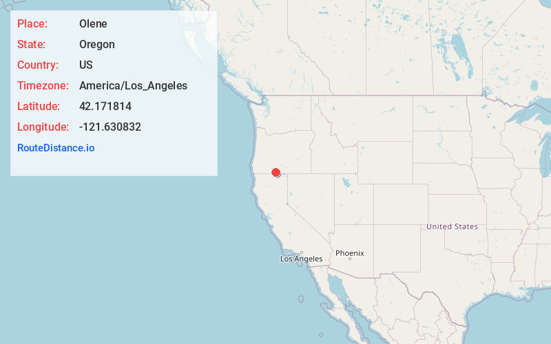
Full AddressOlene, OR 97603
-
Coordinates42.1718141, -121.6308324
-
LocationOlene , Oregon , US
-
TimezoneAmerica/Los_Angeles
-
Current Local Time10:29:56 PM America/Los_AngelesThursday, June 19, 2025
-
Page Views0
About Olene
Olene is an unincorporated community in Klamath County, Oregon, United States. The community is 10 miles southeast of Klamath Falls on Oregon Route 140. Olene currently has a general store and at one time it had a school.
Nearby Places
Found 10 places within 50 miles

Stukel Mountain
4.9 mi
7.9 km
Stukel Mountain, Oregon 97603
Get directions

Altamont
6.0 mi
9.7 km
Altamont, OR 97603
Get directions
Falcon Heights
7.0 mi
11.3 km
Falcon Heights, OR 97603
Get directions

Dairy
7.1 mi
11.4 km
Dairy, OR 97625
Get directions

Klamath Falls
8.5 mi
13.7 km
Klamath Falls, OR
Get directions
Lost River
9.1 mi
14.6 km
Lost River, Oregon
Get directions

Midland
10.1 mi
16.3 km
Midland, OR
Get directions

Merrill
10.3 mi
16.6 km
Merrill, OR
Get directions
Yonna
10.7 mi
17.2 km
Yonna, OR 97623
Get directions
Malone
11.1 mi
17.9 km
Malone, OR 97633
Get directions
Location Links
Local Weather
Weather Information
Coming soon!
Location Map
Static map view of Olene, Oregon
Browse Places by Distance
Places within specific distances from Olene
Short Distances
Long Distances
Click any distance to see all places within that range from Olene. Distances shown in miles (1 mile ≈ 1.61 kilometers).