Distance to Yonna, Oregon

Calculating Your Route
Just a moment while we process your request...
Location Information
-
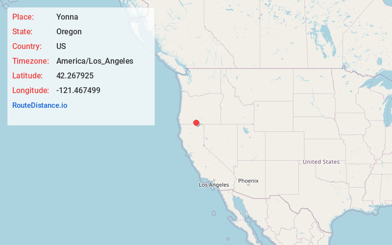
Full AddressYonna, OR 97623
-
Coordinates42.2679247, -121.467499
-
LocationYonna , Oregon , US
-
TimezoneAmerica/Los_Angeles
-
Current Local Time4:25:35 AM America/Los_AngelesMonday, June 2, 2025
-
Page Views0
About Yonna
Yonna is an unincorporated community in Klamath County, Oregon, United States. It lies east of Oregon Route 140 in Yonna Valley, northeast of Dairy and near the base of Short Lake Mountain.
At one time known as Alkali Valley, the area is now known by its Klamath name, Yonna Valley.
Nearby Places
Found 10 places within 50 miles

Dairy
3.6 mi
5.8 km
Dairy, OR 97625
Get directions

Bonanza
5.7 mi
9.2 km
Bonanza, OR 97623
Get directions

Lost River
7.5 mi
12.1 km
Lost River, Oregon
Get directions

Sprague River
13.1 mi
21.1 km
Sprague River, OR
Get directions
Hot Springs
14.1 mi
22.7 km
Hot Springs, OR 97623
Get directions

Stukel Mountain
14.4 mi
23.2 km
Stukel Mountain, Oregon 97603
Get directions
Altamont
14.4 mi
23.2 km
Altamont, OR 97603
Get directions

Beatty
15.7 mi
25.3 km
Beatty, OR 97621
Get directions

Klamath Falls
16.3 mi
26.2 km
Klamath Falls, OR
Get directions
Shady Pine
17.4 mi
28.0 km
Shady Pine, OR 97601
Get directions
Location Links
Local Weather
Weather Information
Coming soon!
Location Map
Static map view of Yonna, Oregon
Browse Places by Distance
Places within specific distances from Yonna
Short Distances
Long Distances
Click any distance to see all places within that range from Yonna. Distances shown in miles (1 mile ≈ 1.61 kilometers).