Distance to Oliphant Furnace, Pennsylvania

Calculating Your Route
Just a moment while we process your request...
Location Information
-
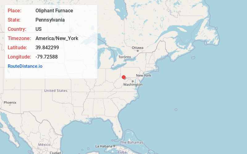
Full AddressOliphant Furnace, PA 15401
-
Coordinates39.8422985, -79.7258795
-
LocationOliphant Furnace , Pennsylvania , US
-
TimezoneAmerica/New_York
-
Current Local Time6:52:05 PM America/New_YorkFriday, June 20, 2025
-
Page Views0
About Oliphant Furnace
Oliphant Furnace is an unincorporated community and coal town in Fayette County, Pennsylvania, United States. The town began as a mining community which grew up around the cokeworks, which bore the name "Oliphant Furnace" in the 1870s. Other towns with "Furnace" in the name can be found in the region.
Nearby Places
Found 10 places within 50 miles

Fairchance
1.9 mi
3.1 km
Fairchance, PA
Get directions

Leith-Hatfield
2.3 mi
3.7 km
Leith-Hatfield, PA 15401
Get directions

Hopwood
2.5 mi
4.0 km
Hopwood, PA
Get directions
Collier
2.9 mi
4.7 km
Collier, Georges Township, PA 15401
Get directions
Leith
3.0 mi
4.8 km
Leith, Leith-Hatfield, PA 15401
Get directions
South Uniontown
3.7 mi
6.0 km
South Uniontown, PA 15401
Get directions
Amend
4.0 mi
6.4 km
Amend, PA 15401
Get directions

Uniontown
4.0 mi
6.4 km
Uniontown, PA 15401
Get directions
East Uniontown
4.2 mi
6.8 km
East Uniontown, PA 15401
Get directions
Newcomer
4.3 mi
6.9 km
Newcomer, Georges Township, PA 15401
Get directions
Location Links
Local Weather
Weather Information
Coming soon!
Location Map
Static map view of Oliphant Furnace, Pennsylvania
Browse Places by Distance
Places within specific distances from Oliphant Furnace
Short Distances
Long Distances
Click any distance to see all places within that range from Oliphant Furnace. Distances shown in miles (1 mile ≈ 1.61 kilometers).