Distance to Olivers, Utah

Calculating Your Route
Just a moment while we process your request...
Location Information
-
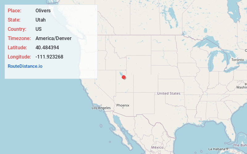
Full AddressOlivers, Bluffdale, UT 84065
-
Coordinates40.4843935, -111.9232684
-
LocationBluffdale , Utah , US
-
TimezoneAmerica/Denver
-
Current Local Time2:10:17 AM America/DenverTuesday, June 3, 2025
-
Page Views0
Nearby Places
Found 10 places within 50 miles

Bluffdale
0.9 mi
1.4 km
Bluffdale, UT
Get directions

Riverton
2.7 mi
4.3 km
Riverton, UT
Get directions

Draper
4.2 mi
6.8 km
Draper, UT
Get directions

South Jordan
5.4 mi
8.7 km
South Jordan, UT
Get directions

Herriman
6.1 mi
9.8 km
Herriman, UT
Get directions

White City
6.4 mi
10.3 km
White City, UT 84094
Get directions

Sandy
7.1 mi
11.4 km
Sandy, UT
Get directions

Lehi
7.5 mi
12.1 km
Lehi, UT
Get directions

Highland
7.8 mi
12.6 km
Highland, UT
Get directions

Alpine
7.9 mi
12.7 km
Alpine, UT 84004
Get directions
Location Links
Local Weather
Weather Information
Coming soon!
Location Map
Static map view of Olivers, Utah
Browse Places by Distance
Places within specific distances from Olivers
Short Distances
Long Distances
Click any distance to see all places within that range from Olivers. Distances shown in miles (1 mile ≈ 1.61 kilometers).