Distance to Olmito, Texas

Calculating Your Route
Just a moment while we process your request...
Location Information
-
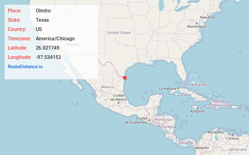
Full AddressOlmito, TX 78575
-
Coordinates26.0217447, -97.5341533
-
LocationOlmito , Texas , US
-
TimezoneAmerica/Chicago
-
Current Local Time8:31:08 AM America/ChicagoFriday, May 30, 2025
-
Page Views0
About Olmito
Olmito is a census-designated place in Cameron County, Texas, United States. Olmito is Spanish for "little elm". The population was 1,021 at the 2020 census. It is part of the Brownsville–Harlingen Metropolitan Statistical Area. Olmito is the self-described "mesquite capital of the world."


Nearby Places
Found 10 places within 50 miles

Rancho Viejo
1.8 mi
2.9 km
Rancho Viejo, TX
Get directions

Los Fresnos
5.0 mi
8.0 km
Los Fresnos, TX
Get directions

Indian Lake
5.1 mi
8.2 km
Indian Lake, TX 78566
Get directions

Cameron Park
5.3 mi
8.5 km
Cameron Park, TX 78526
Get directions

Encantada-Ranchito El Calaboz
6.0 mi
9.7 km
Encantada-Ranchito El Calaboz, TX 78586
Get directions
Rice Tracts Colonia
6.3 mi
10.1 km
Rice Tracts Colonia, Rice Tracts, TX 78586
Get directions
Laureles
6.5 mi
10.5 km
Laureles, TX
Get directions
La Paloma
8.5 mi
13.7 km
La Paloma, TX 78586
Get directions

Brownsville
8.6 mi
13.8 km
Brownsville, TX
Get directions

San Benito
9.7 mi
15.6 km
San Benito, TX 78586
Get directions
Location Links
Local Weather
Weather Information
Coming soon!
Location Map
Static map view of Olmito, Texas
Browse Places by Distance
Places within specific distances from Olmito
Short Distances
Long Distances
Click any distance to see all places within that range from Olmito. Distances shown in miles (1 mile ≈ 1.61 kilometers).