Distance to Olmstead, Arkansas

Calculating Your Route
Just a moment while we process your request...
Location Information
-
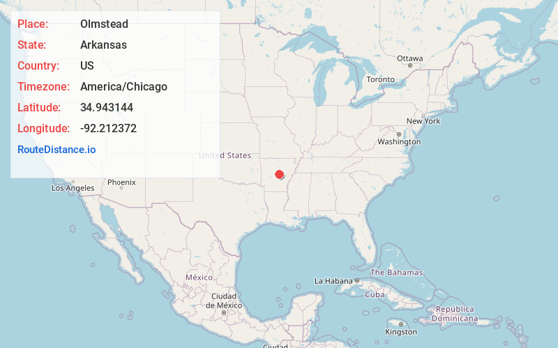
Full AddressOlmstead, AR 72120
-
Coordinates34.9431441, -92.2123715
-
LocationArkansas , US
-
TimezoneAmerica/Chicago
-
Current Local Time3:18:02 AM America/ChicagoTuesday, June 17, 2025
-
Page Views0
Nearby Places
Found 10 places within 50 miles

Macon
2.9 mi
4.7 km
Macon, AR 72076
Get directions
Warsaw
3.3 mi
5.3 km
Warsaw, AR 72076
Get directions
Otto
6.1 mi
9.8 km
Otto, AR 72173
Get directions

Jacksonville
7.1 mi
11.4 km
Jacksonville, AR
Get directions
Sylvan Hills
7.4 mi
11.9 km
Sylvan Hills, Sherwood, AR 72120
Get directions

Sherwood
7.8 mi
12.6 km
Sherwood, AR
Get directions
Funston
8.0 mi
12.9 km
Funston, AR 72173
Get directions
Snow Hill
8.5 mi
13.7 km
Snow Hill, Arkansas 72173
Get directions


Leaflet © OpenStreetMap contributors
Location Links
Local Weather
Weather Information
Coming soon!
Location Map
Static map view of Olmstead, Arkansas
Browse Places by Distance
Places within specific distances from Olmstead
Short Distances
Long Distances
Click any distance to see all places within that range from Olmstead. Distances shown in miles (1 mile ≈ 1.61 kilometers).