Distance to Valentine, Arkansas

Calculating Your Route
Just a moment while we process your request...
Location Information
-
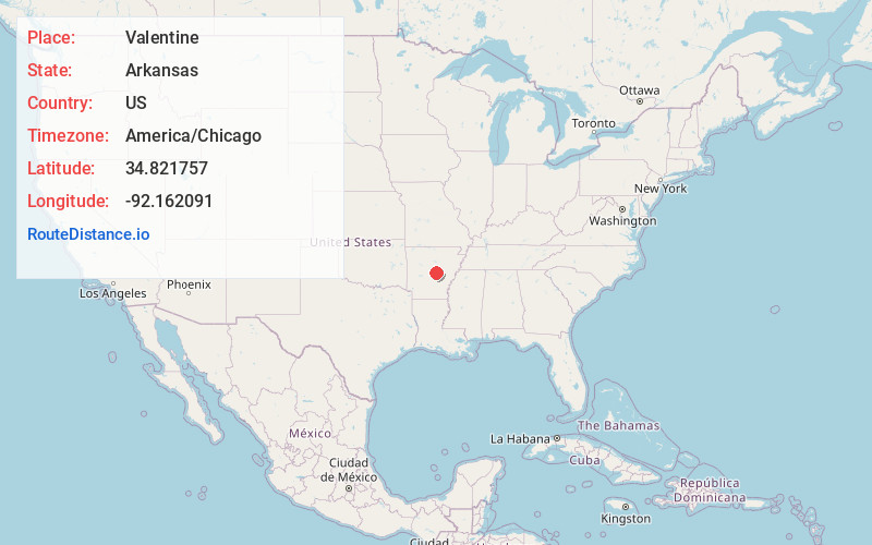
Full AddressValentine, AR 72117
-
Coordinates34.8217571, -92.1620913
-
LocationArkansas , US
-
TimezoneAmerica/Chicago
-
Current Local Time8:38:52 PM America/ChicagoSaturday, May 31, 2025
-
Page Views0
Nearby Places
Found 10 places within 50 miles

Rixey
0.6 mi
1.0 km
Rixey, AR 72117
Get directions

Sherwood
1.8 mi
2.9 km
Sherwood, AR
Get directions
McAlmont
2.9 mi
4.7 km
McAlmont, AR 72117
Get directions

Jacksonville
3.7 mi
6.0 km
Jacksonville, AR
Get directions
Kerr
6.4 mi
10.3 km
Kerr, AR 72142
Get directions

College Station
8.7 mi
14.0 km
College Station, AR 72206
Get directions
Haig
8.8 mi
14.2 km
Haig, AR 72118
Get directions

Little Rock
8.9 mi
14.3 km
Little Rock, AR
Get directions
Crystal Hill
9.0 mi
14.5 km
Crystal Hill, AR 72118
Get directions

Jeffrey
9.0 mi
14.5 km
Jeffrey, AR 72118
Get directions
Location Links
Local Weather
Weather Information
Coming soon!
Location Map
Static map view of Valentine, Arkansas
Browse Places by Distance
Places within specific distances from Valentine
Short Distances
Long Distances
Click any distance to see all places within that range from Valentine. Distances shown in miles (1 mile ≈ 1.61 kilometers).