Distance to Olton, Texas

Calculating Your Route
Just a moment while we process your request...
Location Information
-
Full AddressOlton, TX 79064
-
Coordinates34.1821105, -102.1349842
-
LocationOlton , Texas , US
-
TimezoneAmerica/Chicago
-
Current Local Time11:52:07 AM America/ChicagoTuesday, June 3, 2025
-
Page Views0
About Olton
Olton is a city in Lamb County, Texas, United States. The population was 1,989 at the 2020 census.


Nearby Places
Found 10 places within 50 miles

Hale Center
18.5 mi
29.8 km
Hale Center, TX
Get directions

Littlefield
21.3 mi
34.3 km
Littlefield, TX 79339
Get directions

Plainview
24.5 mi
39.4 km
Plainview, TX 79072
Get directions

Seth Ward
25.5 mi
41.0 km
Seth Ward, TX 79072
Get directions

Dimmitt
27.4 mi
44.1 km
Dimmitt, TX
Get directions

Abernathy
29.4 mi
47.3 km
Abernathy, TX 79311
Get directions

Tulia
32.5 mi
52.3 km
Tulia, TX 79088
Get directions

Muleshoe
33.8 mi
54.4 km
Muleshoe, TX 79347
Get directions

Shallowater
35.0 mi
56.3 km
Shallowater, TX 79363
Get directions

Lockney
39.9 mi
64.2 km
Lockney, TX 79241
Get directions
Location Links
Local Weather
Weather Information
Coming soon!
Location Map
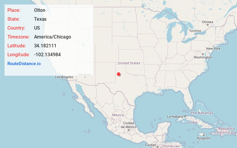
Static map view of Olton, Texas
Browse Places by Distance
Places within specific distances from Olton
Short Distances
Long Distances
Click any distance to see all places within that range from Olton. Distances shown in miles (1 mile ≈ 1.61 kilometers).