Distance to Olympia Fields, Illinois

Calculating Your Route
Just a moment while we process your request...
Location Information
-
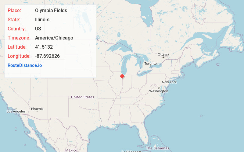
Full AddressOlympia Fields, IL
-
Coordinates41.5131999, -87.6926257
-
LocationOlympia Fields , Illinois , US
-
TimezoneAmerica/Chicago
-
Current Local Time10:10:04 PM America/ChicagoWednesday, July 2, 2025
-
Website
-
Page Views0
About Olympia Fields
Olympia Fields is a village in Cook County, Illinois, United States. The population was 4,718 as of the 2020 census. It is a southern suburb of Chicago. The municipality grew up around the prestigious Olympia Fields Country Club, originally established in 1915.

Nearby Places
Found 10 places within 50 miles

Matteson
1.2 mi
1.9 km
Matteson, IL
Get directions

Park Forest
1.8 mi
2.9 km
Park Forest, IL
Get directions

Richton Park
2.1 mi
3.4 km
Richton Park, IL
Get directions

Flossmoor
2.1 mi
3.4 km
Flossmoor, IL
Get directions

Chicago Heights
3.0 mi
4.8 km
Chicago Heights, IL
Get directions

Hazel Crest
4.0 mi
6.4 km
Hazel Crest, IL
Get directions

Steger
4.2 mi
6.8 km
Steger, IL
Get directions

Homewood
4.3 mi
6.9 km
Homewood, IL 60430
Get directions

Glenwood
5.1 mi
8.2 km
Glenwood, IL
Get directions

Markham
5.6 mi
9.0 km
Markham, IL
Get directions
Location Links
Local Weather
Weather Information
Coming soon!
Location Map
Static map view of Olympia Fields, Illinois
Browse Places by Distance
Places within specific distances from Olympia Fields
Short Distances
Long Distances
Click any distance to see all places within that range from Olympia Fields. Distances shown in miles (1 mile ≈ 1.61 kilometers).