Distance to Hazel Crest, Illinois

Calculating Your Route
Just a moment while we process your request...
Location Information
-
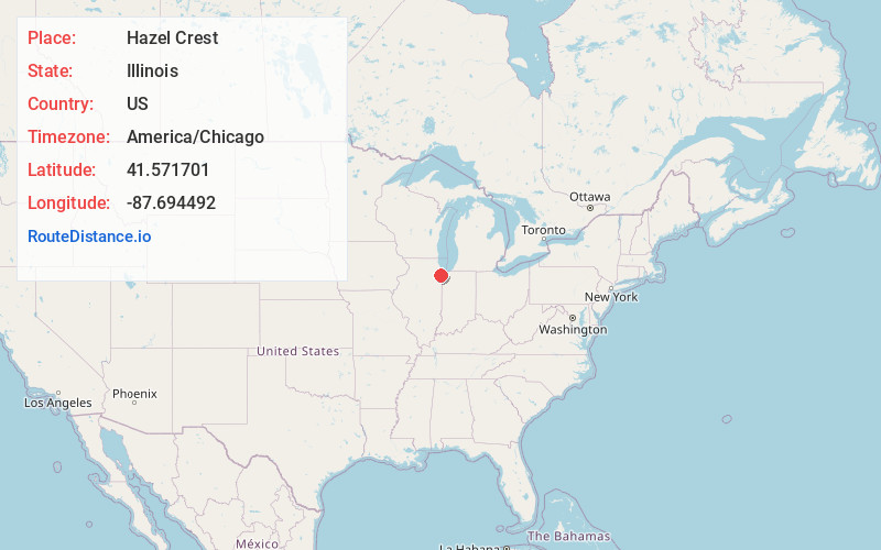
Full AddressHazel Crest, IL
-
Coordinates41.571701, -87.6944915
-
LocationHazel Crest , Illinois , US
-
TimezoneAmerica/Chicago
-
Current Local Time3:00:12 AM America/ChicagoMonday, June 23, 2025
-
Website
-
Page Views0
About Hazel Crest
Hazel Crest is a village in Cook County, Illinois, United States. The population was 13,382 at the 2020 census. It is a suburb of Chicago.


Nearby Places
Found 10 places within 50 miles

Homewood
2.1 mi
3.4 km
Homewood, IL 60430
Get directions

Oak Forest
3.3 mi
5.3 km
Oak Forest, IL
Get directions

Harvey
3.6 mi
5.8 km
Harvey, IL
Get directions

Midlothian
3.9 mi
6.3 km
Midlothian, IL 60445
Get directions

Matteson
4.8 mi
7.7 km
Matteson, IL
Get directions

South Holland
5.0 mi
8.0 km
South Holland, IL
Get directions

Tinley Park
5.1 mi
8.2 km
Tinley Park, IL
Get directions

Chicago Heights
5.5 mi
8.9 km
Chicago Heights, IL
Get directions

Park Forest
5.6 mi
9.0 km
Park Forest, IL
Get directions

Blue Island
6.0 mi
9.7 km
Blue Island, IL
Get directions
Location Links
Local Weather
Weather Information
Coming soon!
Location Map
Static map view of Hazel Crest, Illinois
Browse Places by Distance
Places within specific distances from Hazel Crest
Short Distances
Long Distances
Click any distance to see all places within that range from Hazel Crest. Distances shown in miles (1 mile ≈ 1.61 kilometers).