Distance to Harvey, Illinois

Calculating Your Route
Just a moment while we process your request...
Location Information
-
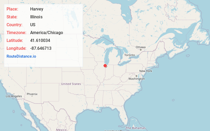
Full AddressHarvey, IL
-
Coordinates41.6100344, -87.6467131
-
LocationHarvey , Illinois , US
-
TimezoneAmerica/Chicago
-
Current Local Time11:41:51 AM America/ChicagoSunday, June 8, 2025
-
Website
-
Page Views0
About Harvey
Harvey is a city in Cook County, Illinois, United States. The population was 20,324 at the 2020 census.
Harvey is bordered by the villages of Dixmoor and Riverdale to the north; Dolton, Phoenix, and South Holland to the east; East Hazel Crest to the south; and Hazel Crest, Markham and Posen to the west.


Nearby Places
Found 10 places within 50 miles

South Holland
2.1 mi
3.4 km
South Holland, IL
Get directions

Dolton
2.9 mi
4.7 km
Dolton, IL
Get directions

Homewood
3.0 mi
4.8 km
Homewood, IL 60430
Get directions

Blue Island
3.7 mi
6.0 km
Blue Island, IL
Get directions

Oak Forest
5.0 mi
8.0 km
Oak Forest, IL
Get directions

Calumet City
6.1 mi
9.8 km
Calumet City, IL
Get directions

Lansing
6.4 mi
10.3 km
Lansing, IL
Get directions

Chicago Heights
7.2 mi
11.6 km
Chicago Heights, IL
Get directions

Munster
7.6 mi
12.2 km
Munster, IN 46321
Get directions

Hammond
7.8 mi
12.6 km
Hammond, IN
Get directions
Location Links
Local Weather
Weather Information
Coming soon!
Location Map
Static map view of Harvey, Illinois
Browse Places by Distance
Places within specific distances from Harvey
Short Distances
Long Distances
Click any distance to see all places within that range from Harvey. Distances shown in miles (1 mile ≈ 1.61 kilometers).