Distance to Dolton, Illinois

Calculating Your Route
Just a moment while we process your request...
Location Information
-
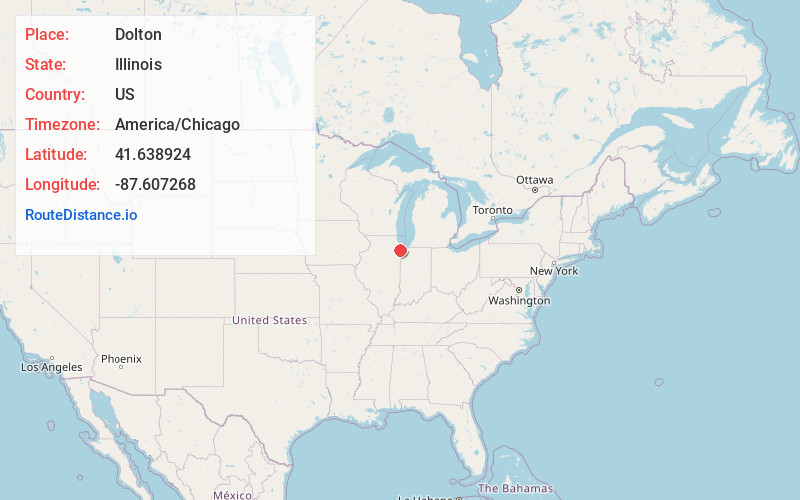
Full AddressDolton, IL
-
Coordinates41.6389236, -87.607268
-
LocationDolton , Illinois , US
-
TimezoneAmerica/Chicago
-
Current Local Time4:32:12 PM America/ChicagoWednesday, June 18, 2025
-
Website
-
Page Views0
About Dolton
Dolton is a village in Cook County, Illinois, United States. The population was 21,426 at the 2020 census. Dolton is located just west of the expressway Interstate 94 and immediately south of the city limits of Chicago.


Nearby Places
Found 10 places within 50 miles

South Holland
2.6 mi
4.2 km
South Holland, IL
Get directions

Blue Island
4.0 mi
6.4 km
Blue Island, IL
Get directions

Calumet City
4.3 mi
6.9 km
Calumet City, IL
Get directions

Lansing
6.2 mi
10.0 km
Lansing, IL
Get directions

Hammond
6.7 mi
10.8 km
Hammond, IN
Get directions

Munster
7.1 mi
11.4 km
Munster, IN 46321
Get directions

Oak Forest
7.5 mi
12.1 km
Oak Forest, IL
Get directions

East Chicago
7.9 mi
12.7 km
East Chicago, IN
Get directions

Oak Lawn
9.2 mi
14.8 km
Oak Lawn, IL 60453
Get directions

Chicago Heights
9.3 mi
15.0 km
Chicago Heights, IL
Get directions
Location Links
Local Weather
Weather Information
Coming soon!
Location Map
Static map view of Dolton, Illinois
Browse Places by Distance
Places within specific distances from Dolton
Short Distances
Long Distances
Click any distance to see all places within that range from Dolton. Distances shown in miles (1 mile ≈ 1.61 kilometers).