Distance to Olyphant, Pennsylvania

Calculating Your Route
Just a moment while we process your request...
Location Information
-
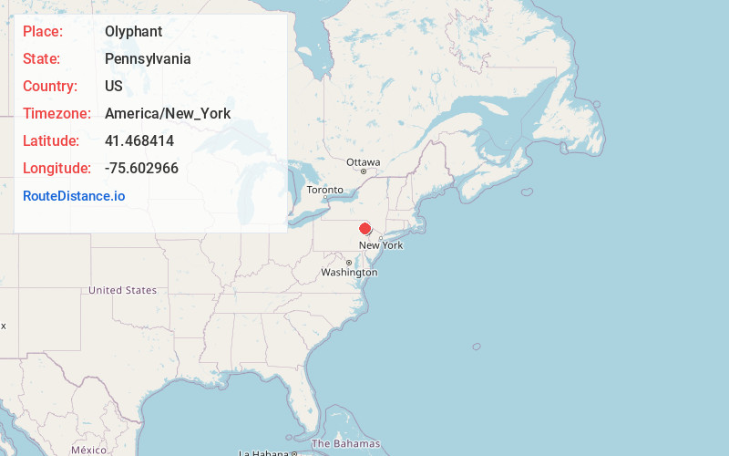
Full AddressOlyphant, PA
-
Coordinates41.4684138, -75.6029656
-
LocationOlyphant , Pennsylvania , US
-
TimezoneAmerica/New_York
-
Current Local Time5:20:56 AM America/New_YorkWednesday, June 18, 2025
-
Page Views0
About Olyphant
Olyphant is a borough in Lackawanna County, Pennsylvania, United States. It is six miles northeast of downtown Scranton, on the Lackawanna River in the heart of the anthracite region of the state. Its main source of employment was the mining and shipping of coal. It was the headquarters of the Lackawanna Coal Company.


Nearby Places
Found 10 places within 50 miles

Dickson City
0.8 mi
1.3 km
Dickson City, PA
Get directions

Blakely
1.0 mi
1.6 km
Blakely, PA
Get directions

Dunmore
3.7 mi
6.0 km
Dunmore, PA
Get directions

Archbald
3.9 mi
6.3 km
Archbald, PA
Get directions

South Abington Township
4.3 mi
6.9 km
South Abington Township, PA 18411
Get directions

Scranton
5.0 mi
8.0 km
Scranton, PA
Get directions

Clarks Summit
5.6 mi
9.0 km
Clarks Summit, PA 18411
Get directions
Scott
7.1 mi
11.4 km
Scott, PA 18447
Get directions

Taylor
7.4 mi
11.9 km
Taylor, PA
Get directions

Carbondale
9.0 mi
14.5 km
Carbondale, PA 18407
Get directions
Location Links
Local Weather
Weather Information
Coming soon!
Location Map
Static map view of Olyphant, Pennsylvania
Browse Places by Distance
Places within specific distances from Olyphant
Short Distances
Long Distances
Click any distance to see all places within that range from Olyphant. Distances shown in miles (1 mile ≈ 1.61 kilometers).