Distance to Onaga, Kansas

Calculating Your Route
Just a moment while we process your request...
Location Information
-
Full AddressOnaga, KS 66521
-
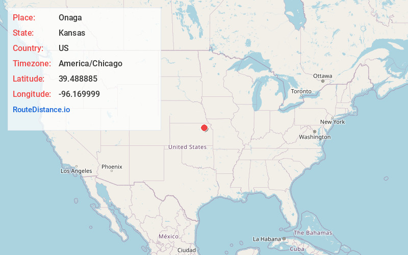
Coordinates39.4888846, -96.1699986
-
LocationOnaga , Kansas , US
-
TimezoneAmerica/Chicago
-
Current Local Time2:54:26 AM America/ChicagoFriday, June 20, 2025
-
Website
-
Page Views0
About Onaga
Onaga is a city in Pottawatomie County, Kansas, United States. As of the 2020 census, the population of the city was 679.
Nearby Places
Found 10 places within 50 miles

Westmoreland
14.6 mi
23.5 km
Westmoreland, KS 66549
Get directions

Frankfort
19.9 mi
32.0 km
Frankfort, KS 66427
Get directions

St Marys
21.0 mi
33.8 km
St Marys, KS 66536
Get directions

Wamego
21.1 mi
34.0 km
Wamego, KS 66547
Get directions

Seneca
24.5 mi
39.4 km
Seneca, KS 66538
Get directions

St George
24.5 mi
39.4 km
St George, KS 66535
Get directions

Rossville
27.0 mi
43.5 km
Rossville, KS 66533
Get directions
Blue Rapids
29.3 mi
47.2 km
Blue Rapids, KS 66411
Get directions
Hoyt
29.8 mi
48.0 km
Hoyt, KS 66440
Get directions

Manhattan
30.4 mi
48.9 km
Manhattan, KS
Get directions
Location Links
Local Weather
Weather Information
Coming soon!
Location Map
Static map view of Onaga, Kansas
Browse Places by Distance
Places within specific distances from Onaga
Short Distances
Long Distances
Click any distance to see all places within that range from Onaga. Distances shown in miles (1 mile ≈ 1.61 kilometers).