Distance to Seneca, Kansas

Calculating Your Route
Just a moment while we process your request...
Location Information
-
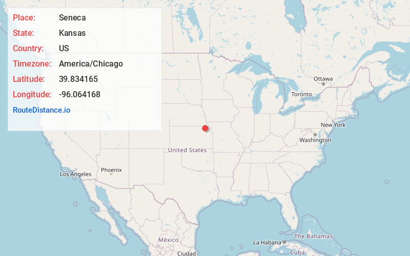
Full AddressSeneca, KS 66538
-
Coordinates39.834165, -96.0641676
-
LocationSeneca , Kansas , US
-
TimezoneAmerica/Chicago
-
Current Local Time10:23:07 AM America/ChicagoWednesday, June 18, 2025
-
Page Views0
About Seneca
Seneca is a city in and the county seat of Nemaha County, Kansas, United States. As of the 2020 census, the population of the city was 2,139.


Nearby Places
Found 8 places within 50 miles

Sabetha
14.7 mi
23.7 km
Sabetha, KS 66534
Get directions
Hiawatha
28.1 mi
45.2 km
Hiawatha, KS 66434
Get directions

Falls City
29.1 mi
46.8 km
Falls City, NE 68355
Get directions

Marysville
30.9 mi
49.7 km
Marysville, KS 66508
Get directions

Auburn
40.6 mi
65.3 km
Auburn, NE 68305
Get directions

St Marys
44.2 mi
71.1 km
St Marys, KS 66536
Get directions

Wamego
45.5 mi
73.2 km
Wamego, KS 66547
Get directions

Beatrice
46.8 mi
75.3 km
Beatrice, NE 68310
Get directions
Location Links
Local Weather
Weather Information
Coming soon!
Location Map
Static map view of Seneca, Kansas
Browse Places by Distance
Places within specific distances from Seneca
Short Distances
Long Distances
Click any distance to see all places within that range from Seneca. Distances shown in miles (1 mile ≈ 1.61 kilometers).