Distance to Onawa, Iowa

Calculating Your Route
Just a moment while we process your request...
Location Information
-
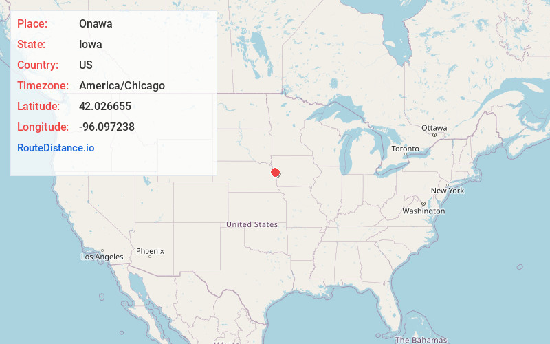
Full AddressOnawa, IA 51040
-
Coordinates42.0266548, -96.0972376
-
LocationOnawa , Iowa , US
-
TimezoneAmerica/Chicago
-
Current Local Time6:33:28 AM America/ChicagoSunday, June 29, 2025
-
Page Views0
About Onawa
Onawa is a city in, and the county seat of, Monona County, Iowa, United States. The population was 2,906 at the time of the 2020 Census. It is the largest town on the Iowa side of the Missouri River between Council Bluffs and Sioux City.


Nearby Places
Found 9 places within 50 miles

Sergeant Bluff
29.2 mi
47.0 km
Sergeant Bluff, IA
Get directions

Blair
33.4 mi
53.8 km
Blair, NE 68008
Get directions

West Point
33.9 mi
54.6 km
West Point, NE 68788
Get directions

Sioux City
36.1 mi
58.1 km
Sioux City, IA
Get directions

Dakota Dunes
37.6 mi
60.5 km
Dakota Dunes, SD 57049
Get directions

Denison
37.9 mi
61.0 km
Denison, IA 51442
Get directions

Fremont
45.9 mi
73.9 km
Fremont, NE 68025
Get directions

Harlan
47.4 mi
76.3 km
Harlan, IA 51537
Get directions

Wayne
49.2 mi
79.2 km
Wayne, NE 68787
Get directions
Location Links
Local Weather
Weather Information
Coming soon!
Location Map
Static map view of Onawa, Iowa
Browse Places by Distance
Places within specific distances from Onawa
Short Distances
Long Distances
Click any distance to see all places within that range from Onawa. Distances shown in miles (1 mile ≈ 1.61 kilometers).